Shop · Researched Irish History Maps & Reports
Original Maps & Reports for Ireland’s Ancient History
Researched, designed, and published independently. Distribution maps of prehistoric monuments, reconstruction maps of Iron Age royal sites, and a 50-page spatial history report covering all of Northern Ireland. All built from official archaeological data using QGIS.
Researched independentlyEvery map and report based on official archaeological data — no AI-generated content, no stock material.
Designed in QGISBuilt from National Monuments Service and HED datasets with precise coordinates and verified locations.
Instant digital downloadsHigh-resolution PDFs and images delivered immediately on purchase — ready to print or display.
Featured publication
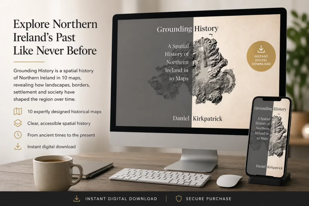
Grounding History: A Spatial History of Northern Ireland
A 50-page illustrated research report covering all 462 wards of Northern Ireland through 10 thematic maps. Original GIS cartography, regional spatial analysis, and high-resolution photography — bringing settlement structure, defensive landscapes, and regional patterns into one accessible publication.
10 maps. 462 wards. One spatial history.
If you’ve used my Heritage Tools or read my essays on Irish landscape archaeology, this is the report that synthesises the wider patterns. Designed for local history enthusiasts, students, walkers, and researchers.
- 50-page fully illustrated research report
- 10 original thematic historical maps
- Regional spatial analysis across all 462 wards
- High-resolution original photography throughout
- Instant digital download (PDF)
Loading product catalogue…
Maps Catalogue
Browse the full collection of Irish history maps below, or jump straight to the full Etsy shop. All are digital downloads, instantly available, designed for high-resolution print or screen display.
The research
How the maps and report are made
All maps and reports here are created from scratch, by me — using official open data from the National Monuments Service (Republic of Ireland) and the Historic Environment Division (Northern Ireland). Each point includes exact coordinates which I’ve filtered, cleaned, and verified.
The maps are produced in QGIS — the professional geographical information system used by archaeologists and planners. The designs are then refined to highlight the patterns that matter: clusters of monuments, regional concentrations, and the relationship between landscape and settlement.
I receive no external funding for any of this. Every map and report is a piece of independent research and your support directly enables me to produce more. More about my background and research approach →
Shop FAQ
How quickly will I receive my purchase?
All products are digital downloads, available immediately after purchase. Etsy will email you a download link as soon as payment is processed. The Heritage Report from Gumroad is delivered the same way.
What file format are the maps?
Each map is delivered as a high-resolution PDF or PNG/JPEG suitable for printing at A3, A2, or larger. The exact files included are listed on each Etsy product page.
Can I print these for personal use?
Yes — every purchase includes a personal use license. You can print as many copies as you like for your own home, study, or as gifts. Commercial use (resale, public display in venues, reproduction in published work) requires a separate license; please contact me.
Do you ship physical prints?
Not at the moment — all products are digital downloads, which keeps prices low and delivery instant. If physical print interest grows, this may change in the future. Newsletter subscribers will hear first.
What’s the difference between the Etsy maps and the report?
The Etsy maps are individual visual products — perfect for wall display, gifts, or focused interest. The Northern Ireland Heritage Report is a 50-page analytical publication: 10 maps integrated with regional analysis, photography, and commentary on the patterns of settlement across all 462 wards.
What about refunds?
Digital downloads aren’t generally refundable due to their nature, but if you experience a download problem or are unhappy with the product, contact me directly — I’ll do everything I can to make it right.
I’m a teacher / researcher / writer — can I use these?
Yes — classroom, academic, and editorial use within fair-use limits is welcome. For larger-scale licensing (e.g. inclusion in a published book or wider commercial reproduction), please get in touch and I’ll work with you on terms.