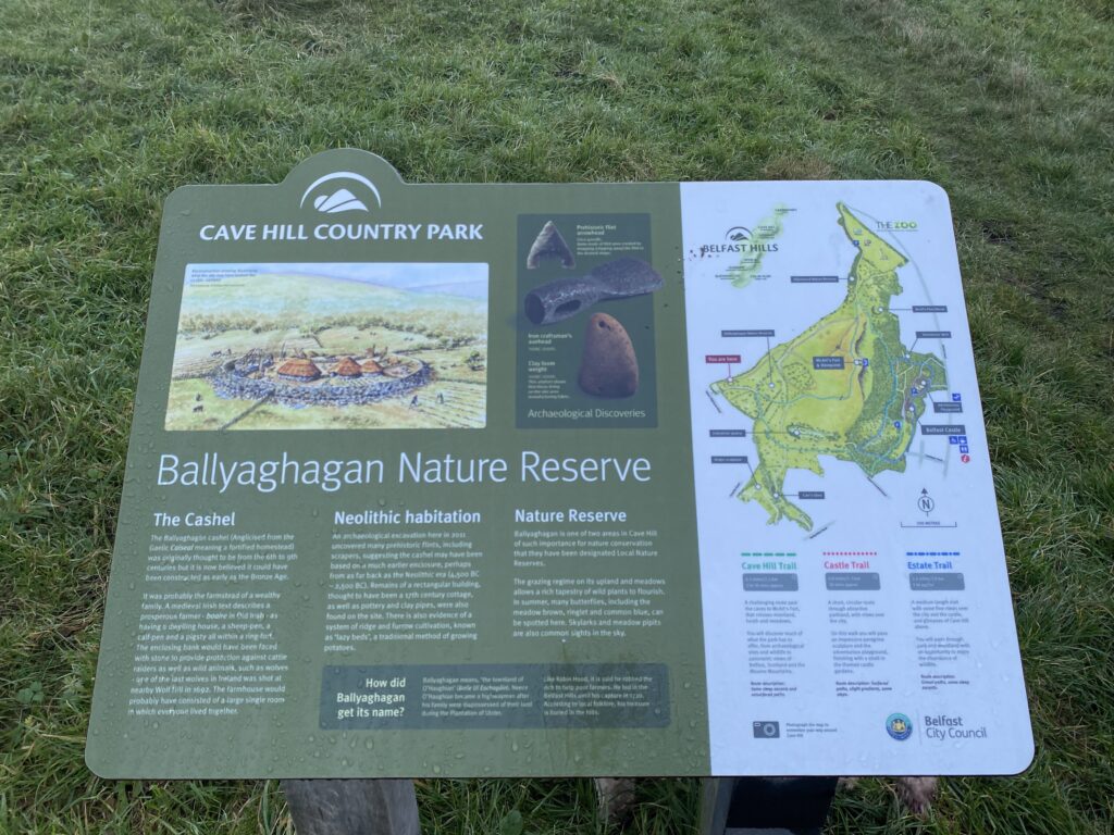
An Ancient Stronghold in the Belfast Hills
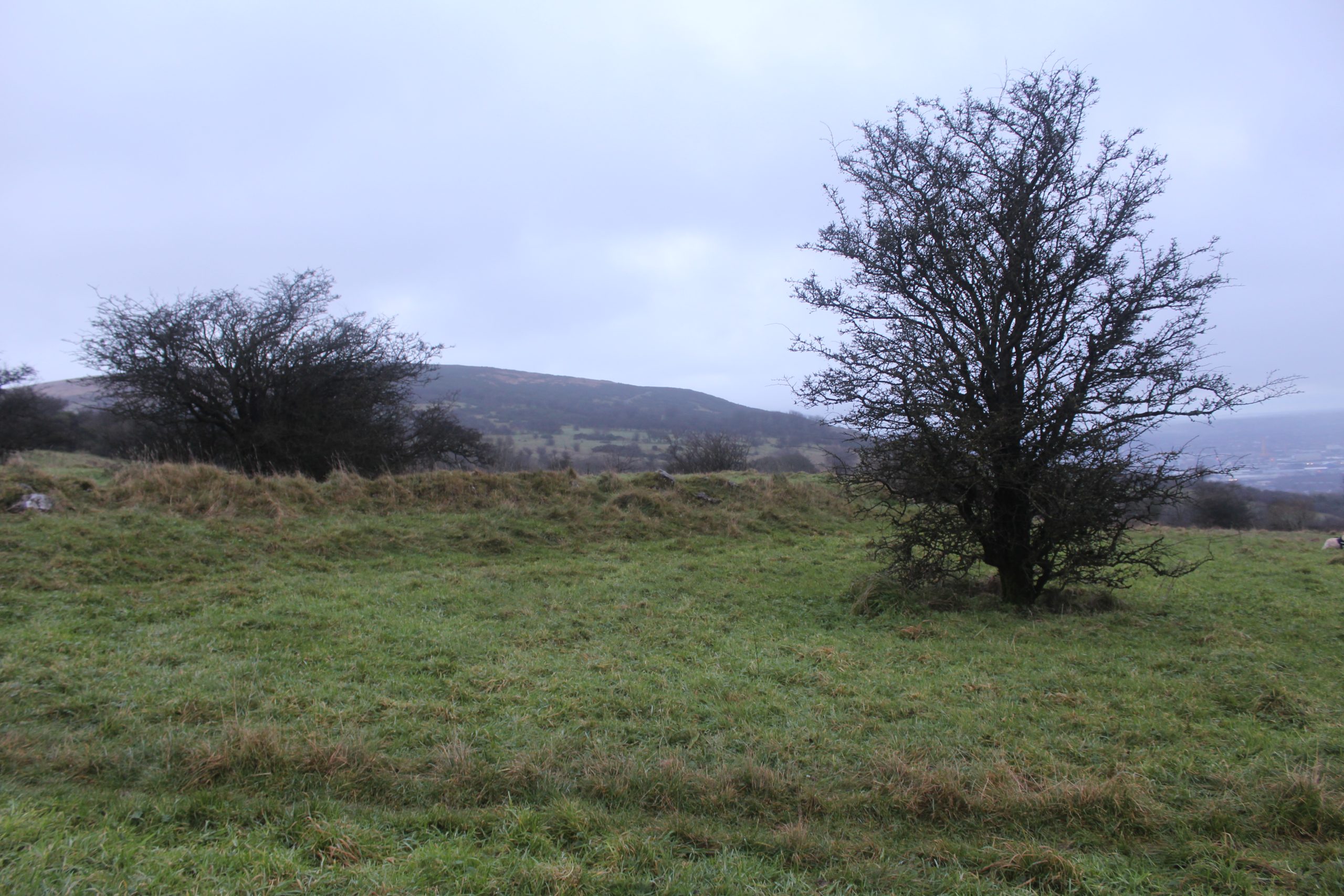
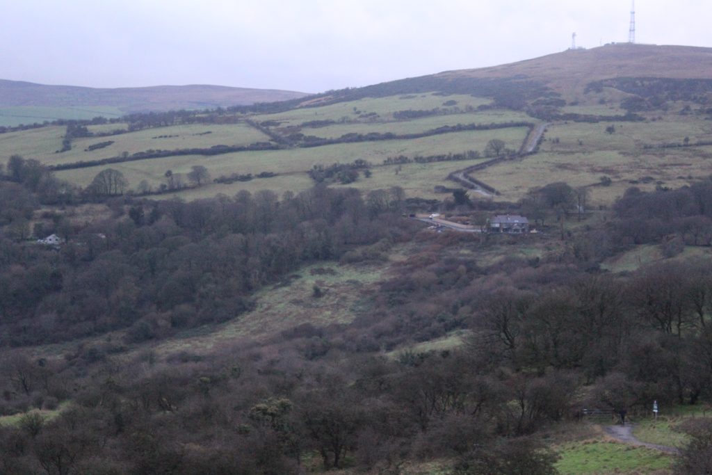
Nestled in the Belfast Hills, overlooking the city beneath, lies Belfast’s ancient castle – Ballyaghagan Cashel – the remains of what was once an early medieval Cashel with evidence of settlement dating back at least as far as 3,500 years. Standing atop site today, you can see views stretching across Belfast Lough, out to the Mourne Mountains off into the distance. It is one of around 20 similar ringforts dotted throughout the Belfast hills forming an ancient crown around the city, one of which few inhabitants are even aware.
With habitation spanning millennia, this site tells a compelling story about Belfast, long before records even began on this island. Recent excavations and research provide rare insights into what life was like and how it evolved. So it’s to these we now turn.
Timeline of Ballyaghagan Cashel
| Date / period | Event |
|---|---|
| Pre-history (Neolithic – Bronze Age) | Flint tools and flakes deposited on the hilltop plateau. |
| ca. AD 600 – 900 | Main cashel (stone ringfort) constructed and occupied. |
| Mid-17th century | Vernacular byre-dwelling built partly across the NW bank; dated by pottery sherds. |
| Early–mid-19th century | Ridge-and-furrow cultivation inside enclosure; eastern bank gap probably opened to aid access. |
| 1833 / 1857 / 1925 | Fort shown as a circular enclosure on successive Ordnance Survey maps. |
| 1987 & 1990 | NI Environment Service and Ulster Museum field inspections recorded its condition. |
| 1995 | Entered in NI Schedule of Historic Monuments (ANT 056:019). |
| Oct 2011 | Ulster Archaeological Society survey & sample excavation; accurate plan and finds catalogue completed. |
Prehistoric Beginnings
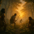
We all know how much easier it is to build on the foundations of those who came before us – a self-evident truth which many of our ancestors understood all too well. Ballyaghagan cashel was no exception, with evidence that human habitation at the site began much earlier than the Medieval fortification.
Flint flakes were discovered just 100m NW of the site, and during a recent excavation of the site itself flint tools including scrapers were found. They multi-purpose tools were typically used to clean animal hides and prepare them for clothing or shelter, or shaping wood and other materials in daily tasks. Such artifacts date the earliest known habitation to 4500-2500BC. This dates to around the same period as the incredible henge – the Giant’s Ring – which still stands outside Belfast today.
Early Medieval Period: The Cashel Structure
Its elevated position—approximately 275 meters above sea level—places it within a well-known cluster of ringfort monuments in the Belfast Hills. The site’s commanding location would have offered strategic visibility over the surrounding landscape, contributing to its significance as a fortified homestead in the early medieval period.
Irish hillforts, of which there are over 35,000, unsurprisingly vary considerably in design and usage making it difficult to fully generalise. Though there are several common features, such as the circular dry-stone wall, encircling a set of domestic and agricultural buildings which would have supported a small community. In this case, the cashel’s interior measures roughly 42 meters in diameter – supporting only a small community.
Excavations noted the absence of a surrounding ditch, suggesting that the defensive function may have been secondary to visual or symbolic considerations. Or, at least, the danger’s it was protecting against were of wild animals and predators, rather than humans. This may seem counter-intuitive, especially given the modern martial connotations of ‘castle’ or ‘fort’, but historical such forts served a wide range of purposes from political and economic, to social and religious.
Comparison between Ballyaghagan Ringfort with similar Forts
| Site | County / setting | Internal | Wall spec. | Dating evidence | Stand-out feature(s) |
|---|---|---|---|---|---|
| Ballyaghagan | Antrim, Cave Hill (275 m OD) | 42 m | Earth bank with external stone revetment; no ditch | Early medieval (c.AD 600–900) | Gap in E bank; 17th-c. house built into NW wall |
| Staigue Fort | Kerry, Iveragh peninsula | 27.4 m | Dry-stone, 5.5 m high, 4 m thick | Late Iron Age/early medieval (no firm radiocarbon) | Inward stairways & mural chambers |
| Grianán of Aileach | Donegal, hilltop 244 m OD | 23 m | Dry-stone, 5 m high, ≈4 m thick | Rebuilt 1870s; original early medieval royal seat | Terraced interior, twin wall passages |
| Caherconnell | Clare, Burren karst | ≈ 40 m | Dry-stone, ≤ 4 m thick | Radiocarbon 10th–12th c.; reuse 15th–17th c. | Evidence for iron- & precious-metal working |
Later use: The Vernacular House
Intriguingly, a 2011 archaeological survey documented a vernacular house constructed partly within and over the northwestern cashel bank. This later addition appears to have been built without concern for the original defensive alignment. The house originally consisted of a single room—approximately 9 meters by 6 meters externally (7m by 4m internally)—with a lean-to extension measuring about 4 meters by 6 meters externally (2.5m by 4m internally). Constructed of large, sub-angular basalt boulders bonded with clay (no mortar was found), the structure is interpreted as a typical byre-dwelling – a combined domestic and agricultural living space. The south gable faces southwest into prevailing winds, and while the exact location of the door remains uncertain, it is thought to lie in the east wall to maximize views across the valley and toward Strangford Lough; views many of us would dream to have today.
Pottery shards date the house to the mid-seventeenth century, a time of intense political turmoil across Ireland. With the English conquest, plantation of Ulster, Penal laws, and political violence all culminating in the – infamous/celebrated (depending on your background) – Battle of the Boyne in 1690 and the eventual defeat of Jacobian forces. It’s incredible to think that the inhabitants of this small house overlooking Belfast bay would have once seen the arrival of William of Orange’s vast army arriving in their thousands to land just off the coast of Bangor.
Additional features on site include a square-shaped enclosure with a stone bank approximately 40 meters to the south and a stone-lined drainage ditch extending east–west immediately south of the cashel. An oval-shaped enclosure is visible on aerial imagery about 100 meters to the northeast, hinting at the broader prehistoric activity in the area.
Preservation and Public Engagement
Ballyaghagan Cashel stands as an important archaeological landmark within the Belfast Hills. Recent efforts by organizations such as the National Trust, Belfast Hills Partnership, and Belfast City Council have improved public access to the site, inviting both academic interest and community engagement. Educational programs and public outreach initiatives draw on the rich, multi-period history of Ballyaghagan, offering local residents and visitors a tangible connection to the region’s ancient past.
The detailed surveys conducted by the Ulster Archaeological Society highlight the potential for further research at Ballyaghagan. Future investigations into the square enclosure, drainage features, and surrounding prehistoric settlements could add significantly to our understanding of the site’s role in the regional landscape. This ongoing research not only deepens academic knowledge but also enhances public appreciation for Ireland’s diverse heritage.
Its weathered stones stand as a reminder of the people who once lived here—farmers, warriors, and leaders—who helped shape the Ireland we know today.
Visiting Ballyaghagan Cashel Today
Cave Hill Country Park, encompassing Ballyaghagan Cashel, is open to the public throughout the year during daylight hours. While the park itself remains accessible, car park opening times can be found here. The Cashel itself is easily accessible from the Upper Hightown Road carpark (within 50m).
Frequently Asked Questions: Ballyaghagan Cashel
An early-medieval dry-stone ringfort (cashel) perched 275 m up Cave Hill, dating broadly to AD 600 – 900.
The interior measures c. 42 m across—unusually large for Irish cashels.
Yes—excavations recovered flint tools and flakes suggesting prehistoric activity around 2500 BC or earlier.
Park at the Upper Hightown Road entrance to Cave Hill Country Park; the cashel is a 50 m walk uphill.
All Belfast parks open at 7 : 30 am daily. Closing times vary seasonally (4 : 30 pm – 10 pm). Admission is free.
YOU MAY ALSO LIKE
 Iron Age Materials in Ireland: From Bog Iron to Ash-wood Spears
 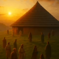 What is Navan Fort? The History of Emain Macha
  Book Review: A smaller social history of ancient Ireland, P.W. Joyce
  What were the Irish war chariots?
 Mountsandel Fort – Ireland’s Oldest Mesolithic Settlement
  Irish Hillforts: Ancient Fortifications of Ireland
  Ancient Celtic Festival Calendar: 8 Key Dates