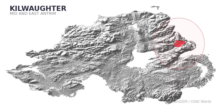
KILWAUGHTER covers 194.0 km² in Northern Ireland. With 115 historic sites and 11 scheduled monuments on record, the ward sits at the 83rd percentile across all 462 NI wards for combined archaeological heritage. It also records 22 listed buildings (HED Historic Buildings Record), the 51st percentile for listed-building density across NI wards. Per 1,000 residents, this works out at 30.9 recorded sites — the 77th percentile across NI wards (a measure of heritage density relative to current population). Dated archaeological evidence runs from the Mesolithic through to the Modern period, spanning 8 archaeological periods, placing the ward in the 90th percentile NI-wide for chronological depth.
Heritage at a glance
Percentile rankings throughout this profile compare each ward only against the other 461 Northern Ireland wards.
Population context
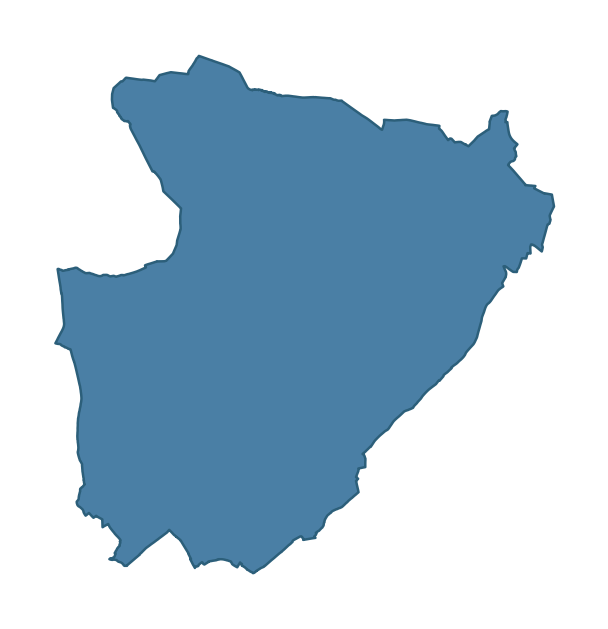
The recorded heritage of KILWAUGHTER
Of the 115 historic sites recorded, the most common are Enclosure (9, 8% of historic sites), Rath (5), and Souterrain (5). For Enclosures, this is the 66th percentile among NI wards that record this type. For Raths, this is the 41st percentile among NI wards that record this type. Across the ward's 194.0 km², this gives a recorded density of 0.76 sites per km² (all heritage types combined). Scheduled monuments are distributed across approximately 0.08° of latitude and 0.11° of longitude within the ward, indicating dispersed rather than clustered placement.
Most common monument types
| Type | Count | Description |
|---|---|---|
| Enclosure | 9 | — |
| Rath | 5 | — |
| Souterrain | 5 | — |
Chronological distribution
Note: 18% of historic site records carry an ‘Unknown’ period attribution. The chronological breakdown above reflects only the dated subset.
Terrain and environment
A mean elevation of 199m places this ward in the top 5% of NI wards by altitude, but the ward reaches 474m at its highest point — a vertical span of more than 274m within its boundary, indicating significant topographic diversity. Mean slope is 5.1° (74th percentile across NI), giving moderately undulating terrain. The Topographic Wetness Index of 10.0 (25th NI percentile) indicates moderate drainage, balanced between upland shedding and lowland accumulation. The land cover is dominated by improved grassland (84%) and woodland (13%). In overall character, this is elevated but relatively gentle terrain — typical of plateau country, with land use dominated by improved grassland.
Terrain measurements
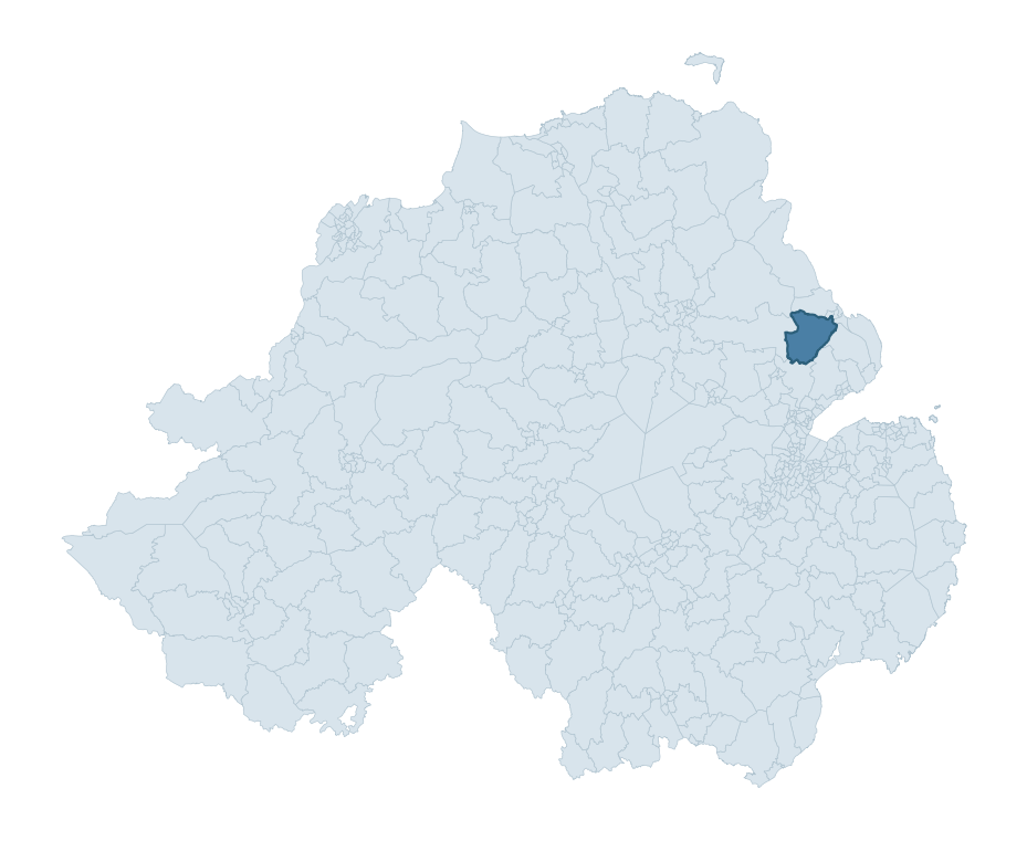
Where this ward sits in NI
Geology and preservation
The dominant bedrock formed during the Cainozoic era (Palaeogene period). Relatively young rock formed in the last 66 million years. In Ulster, Cainozoic basalt — the lava that created the Antrim Plateau and Giant's Causeway — dominates much of the eastern landscape. Peat coverage is limited (1%). Bedrock composition is uniform (complexity index 0.21), with a single dominant geological unit underlying most of the ward. A uniform geology narrows the natural lithic-resource base available to past inhabitants.
Placename evidence
The combined OSNI, Logainm NI, and GeoNames sources record 35 placenames for this ward. Diagnostic heritage strata identified within these are: 1 pre-Christian defensive (rath-, dún-, lios-, caiseal-), 3 ecclesiastical (cill-, teampall-, mainistir-, díseart-), and 1 Norse coastal (fjord-derived names, Viking-age trading sites). Note: Irish-language (name_ga) forms are recorded for roughly half of NI placenames in the combined sources, so anglicised forms whose Irish original could belong to multiple categories may be misclassified.
Placename categories
Scheduled monuments in KILWAUGHTER
Scheduled monuments are sites legally protected under the Historic Monuments and Archaeological Objects (Northern Ireland) Order 1995, designated by the Historic Environment Division (HED).
| Monument | Type | Period |
|---|---|---|
| Motte | Motte | Medieval |
| Motte: Kilwaughter Mote | Motte: Kilwaughter Mote | Medieval |
| Counterscarp Rath | Counterscarp Rath | Early Medieval |
| Platform rath | Platform Rath | Early Medieval |
| Counterscarp Rath | Counterscarp Rath | Early Medieval |
| Circular earthwork | Circular Earthwork | Unknown |
| Mound | Mound | Unknown |
| Heavy Anti-Aircraft Battery | Heavy Anti-Aircraft Battery | Modern |
Recorded historic sites
| Name | Period | Type |
|---|---|---|
| A.P. SITE | Unknown | Unknown |
| A.P. SITE – 2 circular cropmarks | Unknown | Unknown |
| A.P. SITE – CIRCULAR ENCLOSURES? | Unknown | Unknown |
| A.P. SITE – ENCLOSURE | Iron Age | Unknown |
| A.P. SITE – NON-ANTIQUITY | Modern | Unknown |
| A.P. SITE – circular cropmark | Unknown | Unknown |
| A.P. SITE – circular cropmark | Unknown | Unknown |
| A.P. SITE – circular soilmark | Unknown | Unknown |
| A.P. SITE – enclosure | Iron Age | Unknown |
| A.P. SITE – oval enclosure & field boundaries | Iron Age | Unknown |
Listed buildings in KILWAUGHTER
| Address / Name | Grade | Period |
|---|---|---|
| Farm buildings at Kilwaughter Castle Kilwaughter Larne Co Antrim | B1 | 1800 – 1819 |
| Walled garden at 16 Drumnadonaghy Road Kilwaughter Larne Co Antrim | B2 | 1800 – 1819 |
| 17 Drumnadonaghy Road Larne Co Antrim | B1 | 1780 – 1799 |
| Browndod 15 Browndod Road Larne Co Antrim BT40 3JS | B1 | 1840 – 1859 |
| Gate lodge and Gate Screen Kilwaughter Castle Deerpark Road Kilwaughter Larne Co Antrim | B2 | 1840 – 1859 |
| Ice house Kilwaughter Castle Larne Co Antrim | B1 | 1800 – 1819 |
| Kilwaughter Castle Kilwaughter Larne Co Antrim | B1 | 1800 – 1819 |
| Ballyloran House Ballyhampton Road Ballyloran Larne Co Antrim BT40 2ST | B2 | 1860 – 1879 |
| 201 Ballysnod Road Glynn Larne Co Antrim BT40 3NN | Record Only | 1820 – 1839 |
| Holy Family RC Church Ballygowan Larne Co Antrim | Record Only | 1820 – 1839 |
Discover more in Mid and East Antrim
- Broughshane
- Craigyhill
- Kirkinriola
- Braidwater
- Fair Green
- Woodburn
- Carnlough And Glenarm
- Knock — Belfast
- Kilroot
- Killycomain — Armagh City, Banbridge and Craigavon
See all 462 wards in the Northern Ireland Heritage Tool.

Want a deeper view?
Grounding History: 10 Maps of Northern Ireland’s Past
A spatial history report bringing together analysis of all 462 wards into one place through 10 high-quality maps — covering monument density, archaeological periods, placename heritage, terrain, wetland, and the historic landscape at first survey.
About this profile
What is a ward?
A ward is the smallest electoral and statistical geography used by the Northern Ireland Statistics and Research Agency (NISRA). The boundaries used here are the 2014 NISRA / OSNI Wards (462 across Northern Ireland), each typically covering 1-700 km² and a population of a few thousand. Wards do not align with parishes, townlands, or any historic administrative unit — they are a modern statistical convenience, used here only as a fixed spatial frame within which to summarise heritage records.
What counts as a site?
Three distinct heritage record types are reported separately, not combined: (1) Historic Sites — entries in the Northern Ireland Sites and Monuments Record (NISMR), the inventory of recorded archaeological sites and findspots, dated from prehistoric to early-modern; (2) Scheduled Monuments — sites legally protected under the Historic Monuments and Archaeological Objects (NI) Order 1995 and maintained by the Historic Environment Division (HED); (3) Listed Buildings — buildings of architectural or historic interest protected under the Planning Act (NI) 2011 and graded A, B+, B1, B2, or Record-Only by HED. A site appearing in more than one register is counted in each register independently.
Editorial principles
These ward profiles describe evidence, not history. They report what is recorded, not what occurred. Where the data is ambiguous, we say so. We do not infer historical processes — population movements, settlement expansion, periods of decline — from patterns in the record. Absence of evidence is not evidence of absence: in Northern Ireland, where antiquarian survey was uneven and modern excavation is geographically biased, a gap in the record almost always reflects the limits of recording rather than a genuine historical absence. We mark such gaps explicitly where they appear in the data.
Limits of coverage and known caveats
Several caveats apply to every ward profile: (1) NISMR coverage is uneven across NI — some areas (notably parts of the south-east and the Belfast urban fringe) have been more intensively surveyed than others, so a low recorded site count does not reliably indicate a low past density of activity; (2) period attributions in NISMR are often 'Unknown', and chronological breakdowns reported here reflect only the dated subset; (3) placename classification depends on the Irish-language form (name_ga), which is recorded for approximately 50% of NI placenames in the combined sources, so ecclesiastical and pre-Christian counts may be understated where anglicised forms remain unparsed; (4) terrain percentile ranks compare each ward only to the other 461 NI wards; they are not absolute thresholds. For absence-dominant land cover categories (wetland, water, cropland), percentile ranks are suppressed below 1% raw value, since the ranking of zero-value wards is not meaningful.
Data sources (11)
- Northern Ireland Sites and Monuments Record (NISMR) https://www.communities-ni.gov.uk/articles/nismr-public-mapviewer
- HED Scheduled Monuments Dataset https://www.opendatani.gov.uk/@historic-environment-division/scheduled-monuments-northern-ireland
- HED Historic Buildings Record https://www.communities-ni.gov.uk/topics/historic-environment/listed-buildings
- OSNI OS Open Names (Northern Ireland) https://www.opendatani.gov.uk/@ordnance-survey-of-northern-ireland/osni-open-data—50k-gazetteer
- Logainm — Placenames Database of Ireland https://www.logainm.ie/
- GeoNames https://www.geonames.org/
- Census 2021 (Northern Ireland) https://www.nisra.gov.uk/statistics/2021-census
- OSNI Open Data — Largescale Boundaries https://www.opendatani.gov.uk/@ordnance-survey-of-northern-ireland/osni-open-data-largescale-boundaries-wards-2012
- Copernicus GLO-30 DEM https://spacedata.copernicus.eu/collections/copernicus-digital-elevation-model
- ESA WorldCover https://esa-worldcover.org/
- GSNI 1:250,000 Geology https://www.bgs.ac.uk/geological-data/maps/