Understand how individual wards connect into Northern Ireland’s wider historical landscape.
A 50-page research report based on the analysis behind the Northern Ireland Heritage Tool.
✅ Instant digital download
✅ Regional historical analysis
✅ Independent research publication
✔ Companion to the Heritage Tool
✔ Covers all 462 wards
✔ Instant PDF access
Beyond the Map
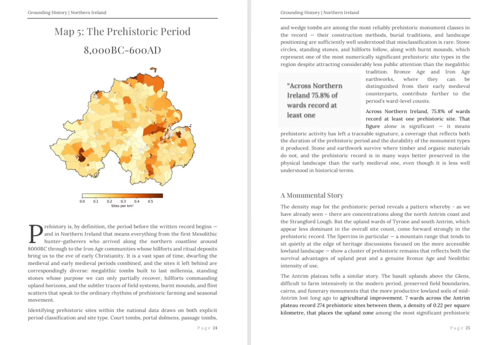
Through 10 analytical maps, this report considers where historic landscapes survive across Northern Ireland. Using original in-depth research into the regions across Northern Ireland, it covers listed buildings, scheduled monuments, and historical sites, discussing trends based on prehistoric and medieval sites, alongside particular regional hotspots. The role of terrain, particularly waterways and elevation, are covered with maps designed in QGIS using a range of data sources. Detailed case studies cover the most historical wards and deep dives into scheduled monuments of particular note.
In other words, this report explains the wider patterns revealed when every region is analysed together — settlement structure, defensive landscapes, and regional historical relationships that can be seen only when considering the breadth of spatial history.
Alongside the detailed historical maps, the report includes original photographs of significant sites across Northern Ireland all the author’s own.
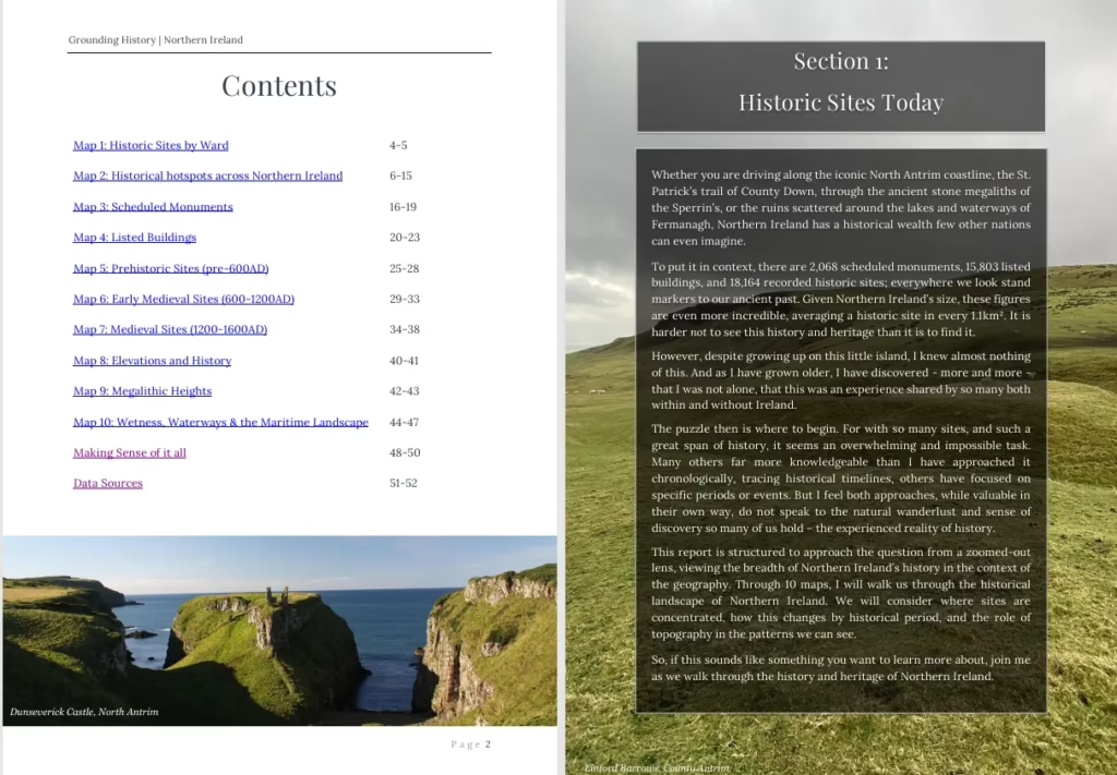
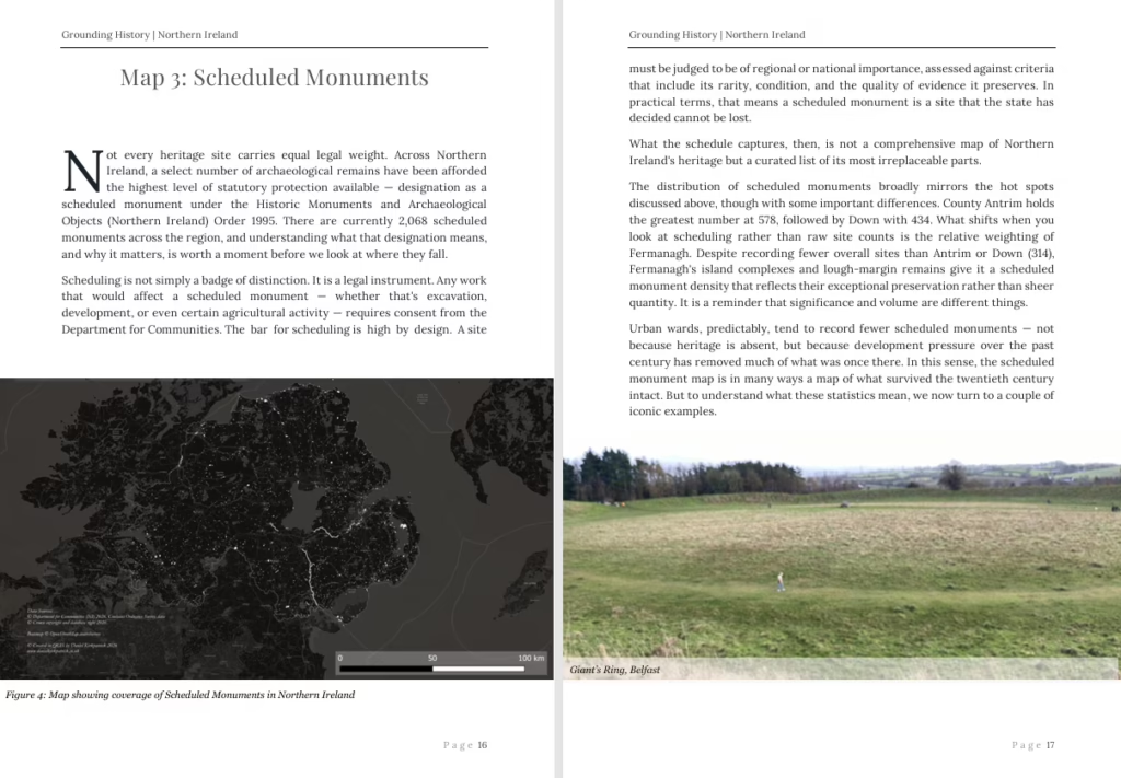
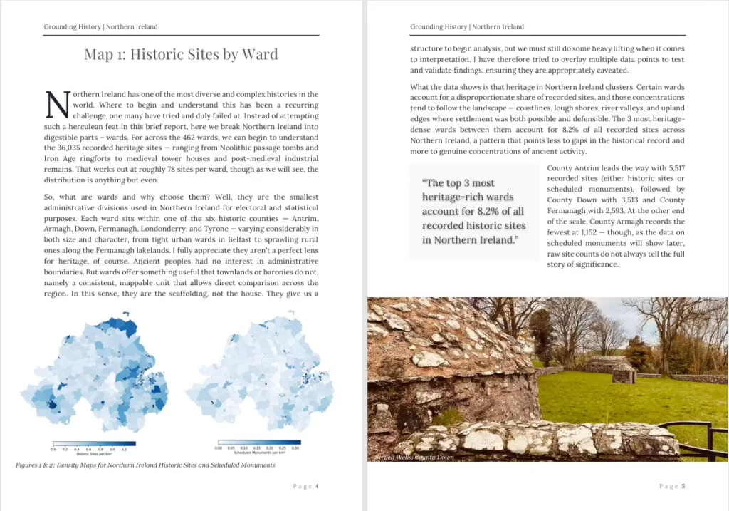
Want to see more first? Here is a free sample of the first section of the report.
Click the images below to preview
What do you get?
✔ 50-page fully illustrated research report
A carefully structured regional overview bringing together Northern Ireland’s archaeological, historical, and landscape evidence in one accessible publication.
✔ 10 original thematic historical maps
Custom-designed maps revealing settlement patterns, monument distribution, and historical landscape structure across all wards.
✔ Regional spatial analysis
Evidence-led analysis derived directly from mapped heritage datasets — helping you see large-scale patterns impossible to recognise site-by-site.
✔ Original GIS cartography
All maps produced by the author using professional GIS workflows, not republished archive material.
✔ High-resolution photography throughout
Original photographs illustrating key monuments, landscapes, and architectural forms discussed in the report.
✔ Instant digital download (PDF)
Optimised for reading on desktop, tablet, or mobile — ideal for both home study and field exploration.
Who’s is it for?
🏰 Local history enthusiasts seeking deeper context behind the places they already know
🗺️Visitors to the Northern Ireland Heritage Tool who want the wider story behind the data
🚶 Walkers, explorers, and heritage travellers interested in understanding landscapes as well as locations
🎓 Students and researchers looking for a clear regional overview grounded in mapped evidence
📚 Teachers and lifelong learners wanting an accessible introduction to Northern Ireland’s archaeological landscape
🌄 Anyone curious about how settlement, myth, geography, and history intersect across Ulster
About the author:
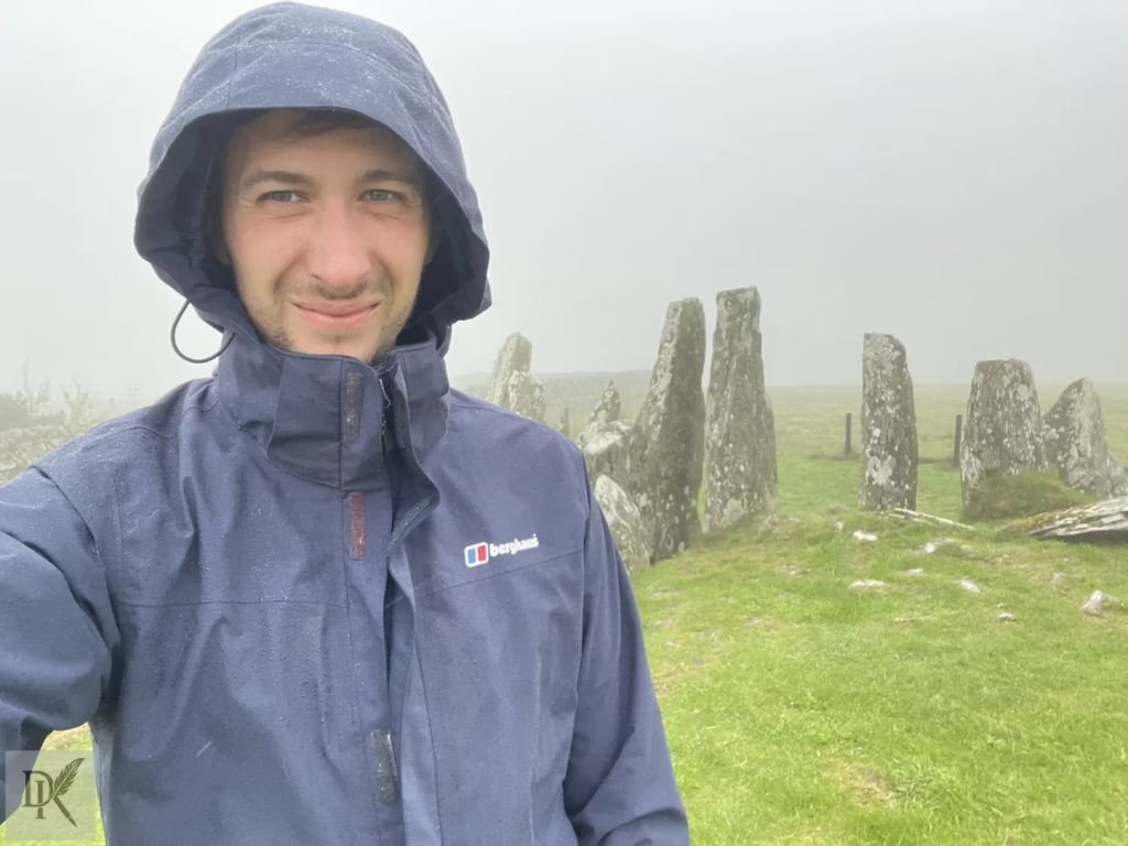
Daniel has a PhD in International Conflict Analysis from the University of Kent with a published monograph covering his specialism on the criminalisation of political expression. If spatial history is his canvas, data the is the paint. So, having delved deeply into the pained conflict across Ireland, Daniel’s love of Irish history is rooted in a belief that it can create a shared identity which transcends present conflict. By seeing what came before, we can see beyond what currently confines us.
Frequently Asked Questions
No this is a digital download. As it contains high resolution photographs and maps, it has been created for digital download only. A physical book may later become available depending on demand.
You will get a download link enabling you to access the high resolution file in pdf format.
All 462 wards in Northern Ireland are considered, but this report is a zoomed out picture looking at wider trends. These include things like terrain and elevation, historical settlement patterns, and the distribution of types of monument classes.
The report focuses on Northern Ireland simply because of the administrative boundaries. Comparing across the whole of Ireland is challenging due to different definitions for wards, varying data quality, and different data sources. I plan to create an Ireland report later, but this will require much further research.