
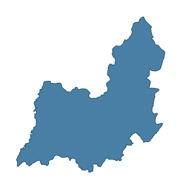
BLACKWATERTOWN covers 267.0 km² in Northern Ireland. With 101 historic sites and 10 scheduled monuments on record, the ward sits at the 85th percentile across all 462 NI wards for combined archaeological heritage. It also records 44 listed buildings (HED Historic Buildings Record), the 74th percentile for listed-building density across NI wards. Per 1,000 residents, this works out at 28.5 recorded sites — the 72nd percentile across NI wards (a measure of heritage density relative to current population). Dated archaeological evidence runs from the Mesolithic through to the Post-Medieval period, spanning 6 archaeological periods, around the NI median for chronological depth.
Heritage at a glance
Percentile rankings throughout this profile compare each ward only against the other 461 Northern Ireland wards.
Population context
The recorded heritage of BLACKWATERTOWN
Of the 101 historic sites recorded, the most common are Ap Site- Possible Enclosure (10, 10% of historic sites), Enclosure (8), and Rath (7). For Ap Site- Possible Enclosures, this is the 0th percentile across NI wards that record this type. For Enclosures, this is the 62nd percentile among NI wards that record this type. Across the ward's 267.0 km², this gives a recorded density of 0.58 sites per km² (all heritage types combined). Scheduled monuments are distributed across approximately 0.09° of latitude and 0.08° of longitude within the ward, indicating dispersed rather than clustered placement.
Most common monument types
| Type | Count | Description |
|---|---|---|
| Ap Site- Possible Enclosure | 10 | — |
| Enclosure | 8 | — |
| Rath | 7 | — |
Chronological distribution
Terrain and environment
Mean elevation of 39m sits around the NI median (30th percentile), reaching 103m at the highest point. Mean slope is 4.4° (54th percentile across NI), giving moderately undulating terrain. The Topographic Wetness Index of 10.3 (43th NI percentile) indicates moderate drainage, balanced between upland shedding and lowland accumulation. The land cover is dominated by improved grassland (81%) and woodland (12%).
Terrain measurements
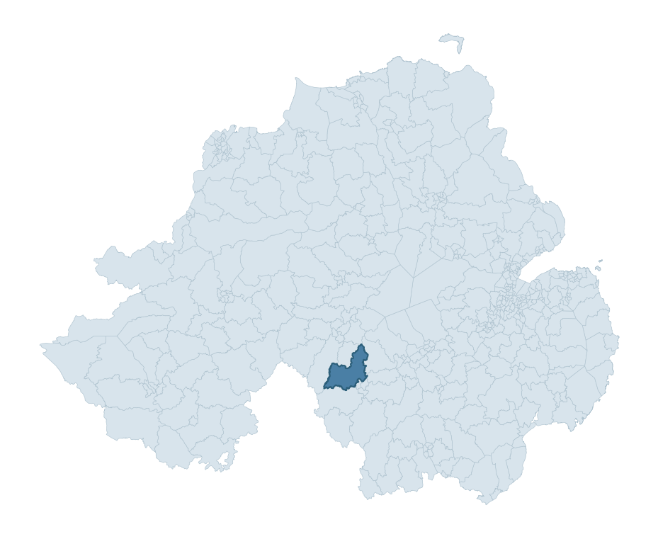
Where this ward sits in NI
Geology and preservation
The dominant bedrock formed during the Palaeozoic era (Permian period). Ancient sedimentary or metamorphic rock dating to before the age of dinosaurs; the resulting landscape has been long-stable enough to host every period of human activity. Peat covers 16% of the ward. Peat-bound ground preserves organic archaeological material that would not survive on aerated mineral soils. Bedrock composition is moderately varied (complexity index 0.64), with two or three geological units present within the ward boundary.
Placename evidence
The combined OSNI, Logainm NI, and GeoNames sources record 125 placenames for this ward. Diagnostic heritage strata identified within these are: 5 pre-Christian defensive (rath-, dún-, lios-, caiseal-), 7 ecclesiastical (cill-, teampall-, mainistir-, díseart-), and 1 Anglo-Norman (12th-14th c medieval planted names). Note: Irish-language (name_ga) forms are recorded for roughly half of NI placenames in the combined sources, so anglicised forms whose Irish original could belong to multiple categories may be misclassified.
Placename categories
Scheduled monuments in BLACKWATERTOWN
Scheduled monuments are sites legally protected under the Historic Monuments and Archaeological Objects (Northern Ireland) Order 1995, designated by the Historic Environment Division (HED).
| Monument | Type | Period |
|---|---|---|
| Platform rath | Platform Rath | Early Medieval |
| Mound | Mound | Unknown |
| Enclosure | Enclosure | Iron Age |
| Large hilltop Enclosure: Haughey's Fort | Large Hilltop Enclosure: Haughey'S Fort | Iron Age |
| Rath and Artillery Basation | Rath And Artillery Basation | Early Medieval |
| Ring Ditches | Ring Ditches | Unknown |
| Mound | Mound | Unknown |
| Votive site and find spot of four Iron Age horns. 'Loughnashade' | Votive Site And Find Spot Of Four Iron Age Horns. 'Loughnashade' | Iron Age |
Recorded historic sites
| Name | Period | Type |
|---|---|---|
| A.P. SITE – CIRCULAR ENCLOSURE WITH ANNEXE | Iron Age | Unknown |
| A.P. SITE – CURVING BANK/ LARGE ENCLOSURE? | Iron Age | Commercial |
| A.P. SITE – OVAL CROPMARK | Unknown | Unknown |
| A.P. SITE – OVAL ENCLOSURE | Iron Age | Unknown |
| A.P. SITE – POSSIBLE CONJOINED ENCLOSURES | Unknown | Unknown |
| A.P. SITE – POSSIBLE ENCLOSURE | Iron Age | Unknown |
| A.P. SITE – POSSIBLE ENCLOSURE | Iron Age | Unknown |
| A.P. SITE – POSSIBLE ENCLOSURE | Iron Age | Unknown |
| A.P. SITE – POSSIBLE ENCLOSURE | Iron Age | Unknown |
| A.P. SITE – POSSIBLE ENCLOSURE | Iron Age | Unknown |
Listed buildings in BLACKWATERTOWN
| Address / Name | Grade | Period |
|---|---|---|
| Elm Park House 22 Tonnagh Road Killylea County Armagh BT60 4PZ | B+ | 1800 – 1819 |
| MAYDOWN BRIDGE BENBURB/MAYDOWN DUNGANNON CO.TYRONE | B2 | — |
| CHARLEMONT BRIDGE MOY/CHARLEMONT CO.TYRONE | B1 | — |
| DREDGE BRIDGE OVER THE BLACKWATER GLENARB CALEDON CO.TYRONE | B+ | — |
| Summer Island 30 Summer Island Road Annasamry Loughgall Co. Armagh BT61 8LF | B+ | — |
| THE ARGORY 144 DERRYCAW ROAD MOY CO.TYRONE | B+ | — |
| SOUTH LODGE AT THE ARGORY 133 DERRYCAW ROAD MOY Dungannon CO.TYRONE | B | — |
| SUNDAY SCHOOL AT THE ARGORY 144 DERRYCAW ROAD MOY Dungannon CO.TYRONE | B2 | — |
| FARMHOUSE (LAND STEWARD'S HOUSE) AT THE ARGORY 144 DERRYCAW ROAD MOY Dungannon CO.TYRONE | B1 | — |
| FAIRLAWN 20 DERRYSCOLLOP ROAD DERRYSCOLLOP CHARLEMONT Moy Dungannon CO.ARMAGH | B2 | — |
Discover more in Armagh City, Banbridge and Craigavon
- Dromore
- Aghagallon
- Banbridge East
- Gilford
- Richhill
- Mahon
- Bleary
- Ballyrobert — Antrim and Newtownabbey
- Banbridge North
- Ballinderry — Lisburn and Castlereagh
See all 462 wards in the Northern Ireland Heritage Tool.

Want a deeper view?
Grounding History: 10 Maps of Northern Ireland’s Past
A spatial history report bringing together analysis of all 462 wards into one place through 10 high-quality maps — covering monument density, archaeological periods, placename heritage, terrain, wetland, and the historic landscape at first survey.
About this profile
What is a ward?
A ward is the smallest electoral and statistical geography used by the Northern Ireland Statistics and Research Agency (NISRA). The boundaries used here are the 2014 NISRA / OSNI Wards (462 across Northern Ireland), each typically covering 1-700 km² and a population of a few thousand. Wards do not align with parishes, townlands, or any historic administrative unit — they are a modern statistical convenience, used here only as a fixed spatial frame within which to summarise heritage records.
What counts as a site?
Three distinct heritage record types are reported separately, not combined: (1) Historic Sites — entries in the Northern Ireland Sites and Monuments Record (NISMR), the inventory of recorded archaeological sites and findspots, dated from prehistoric to early-modern; (2) Scheduled Monuments — sites legally protected under the Historic Monuments and Archaeological Objects (NI) Order 1995 and maintained by the Historic Environment Division (HED); (3) Listed Buildings — buildings of architectural or historic interest protected under the Planning Act (NI) 2011 and graded A, B+, B1, B2, or Record-Only by HED. A site appearing in more than one register is counted in each register independently.
Editorial principles
These ward profiles describe evidence, not history. They report what is recorded, not what occurred. Where the data is ambiguous, we say so. We do not infer historical processes — population movements, settlement expansion, periods of decline — from patterns in the record. Absence of evidence is not evidence of absence: in Northern Ireland, where antiquarian survey was uneven and modern excavation is geographically biased, a gap in the record almost always reflects the limits of recording rather than a genuine historical absence. We mark such gaps explicitly where they appear in the data.
Limits of coverage and known caveats
Several caveats apply to every ward profile: (1) NISMR coverage is uneven across NI — some areas (notably parts of the south-east and the Belfast urban fringe) have been more intensively surveyed than others, so a low recorded site count does not reliably indicate a low past density of activity; (2) period attributions in NISMR are often 'Unknown', and chronological breakdowns reported here reflect only the dated subset; (3) placename classification depends on the Irish-language form (name_ga), which is recorded for approximately 50% of NI placenames in the combined sources, so ecclesiastical and pre-Christian counts may be understated where anglicised forms remain unparsed; (4) terrain percentile ranks compare each ward only to the other 461 NI wards; they are not absolute thresholds. For absence-dominant land cover categories (wetland, water, cropland), percentile ranks are suppressed below 1% raw value, since the ranking of zero-value wards is not meaningful.
Data sources (11)
- Northern Ireland Sites and Monuments Record (NISMR) https://www.communities-ni.gov.uk/articles/nismr-public-mapviewer
- HED Scheduled Monuments Dataset https://www.opendatani.gov.uk/@historic-environment-division/scheduled-monuments-northern-ireland
- HED Historic Buildings Record https://www.communities-ni.gov.uk/topics/historic-environment/listed-buildings
- OSNI OS Open Names (Northern Ireland) https://www.opendatani.gov.uk/@ordnance-survey-of-northern-ireland/osni-open-data—50k-gazetteer
- Logainm — Placenames Database of Ireland https://www.logainm.ie/
- GeoNames https://www.geonames.org/
- Census 2021 (Northern Ireland) https://www.nisra.gov.uk/statistics/2021-census
- OSNI Open Data — Largescale Boundaries https://www.opendatani.gov.uk/@ordnance-survey-of-northern-ireland/osni-open-data-largescale-boundaries-wards-2012
- Copernicus GLO-30 DEM https://spacedata.copernicus.eu/collections/copernicus-digital-elevation-model
- ESA WorldCover https://esa-worldcover.org/
- GSNI 1:250,000 Geology https://www.bgs.ac.uk/geological-data/maps/