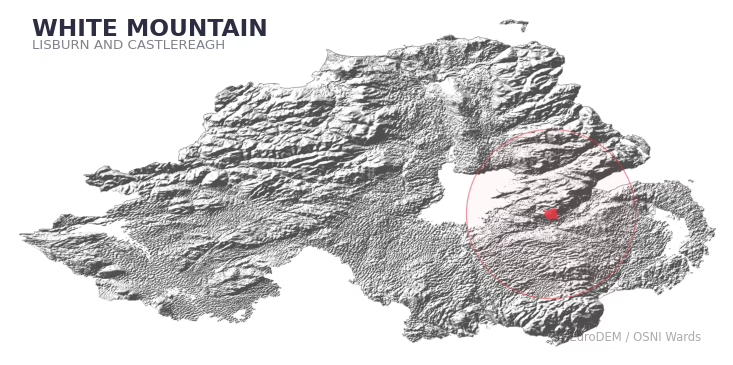
WHITE MOUNTAIN covers 40.0 km² in Northern Ireland. With 34 historic sites and 4 scheduled monuments on record, the ward sits at the 48th percentile across all 462 NI wards for combined archaeological heritage. It also records 8 listed buildings (HED Historic Buildings Record), the 28th percentile for listed-building density across NI wards. Per 1,000 residents, this works out at 7.5 recorded sites — the 42nd percentile across NI wards (a measure of heritage density relative to current population). Dated archaeological evidence runs from the Mesolithic through to the Modern period, spanning 6 archaeological periods, around the NI median for chronological depth.

Heritage at a glance
Percentile rankings throughout this profile compare each ward only against the other 461 Northern Ireland wards.
Population context
The recorded heritage of WHITE MOUNTAIN
Of the 34 historic sites recorded, the most common are Enclosure (O.S. Memoir Site, Unlocated) (6, 18% of historic sites), Rath (3), and Non-Antiquity (2). For Enclosure (O.S. Memoir Site, Unlocated)s, this is the 54th percentile among NI wards that record this type. For Raths, this is the 23rd percentile across NI wards that record this type. Across the ward's 40.0 km², this gives a recorded density of 1.15 sites per km² (all heritage types combined).
Most common monument types
| Type | Count | Description |
|---|---|---|
| Enclosure (o.s. Memoir Site, Unlocated) | 6 | — |
| Rath | 3 | — |
| Non-antiquity | 2 | — |
Chronological distribution
Note: 24% of historic site records carry an ‘Unknown’ period attribution. The chronological breakdown above reflects only the dated subset.
Terrain and environment
A mean elevation of 167m places this ward in the top 9% of NI wards by altitude, with a maximum of 309m giving the ward meaningful vertical relief. The terrain is consistently steep, with a mean slope of 5.5° (83th percentile across NI). The ward is well-drained, with a Topographic Wetness Index of 9.8 (16th NI percentile) — characteristic of upland or steeply-sloping ground that sheds water rapidly. The land-cover mosaic combines improved grassland (70%), woodland (18%), and urban land (9%), giving a mixed agricultural and semi-natural landscape. In overall character, this is an upland landscape of steep, elevated terrain, with land use dominated by improved grassland.
Terrain measurements
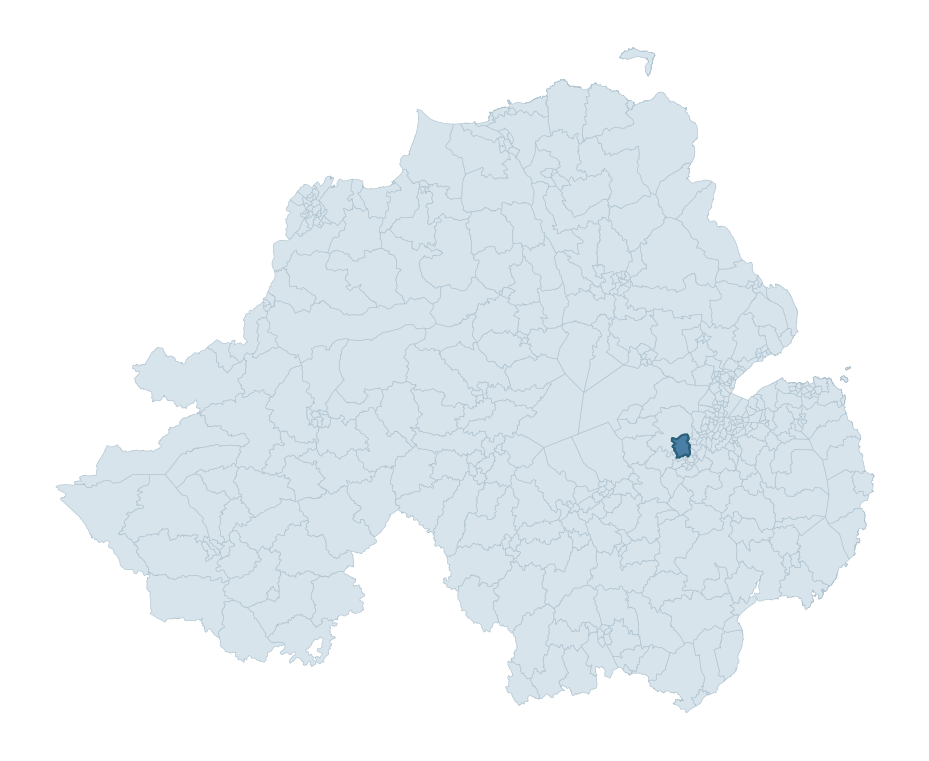
Where this ward sits in NI
Geology and preservation
The dominant bedrock formed during the Cainozoic era (Palaeogene period). Relatively young rock formed in the last 66 million years. In Ulster, Cainozoic basalt — the lava that created the Antrim Plateau and Giant's Causeway — dominates much of the eastern landscape. Bedrock composition is varied (complexity index 0.86, on a 0-1 Simpson-style scale), with multiple geological units within the ward boundary. Geologically diverse wards historically offered a wider range of stone types for building, toolmaking, and quarrying — a relevant factor when interpreting the material culture of nearby sites.
Placename evidence
The placename record for this ward is small — 9 names in total — but it does include 1 ecclesiastical placename. With this few records, the count should be treated as indicative rather than a firm characterisation.
Placename categories
Scheduled monuments in WHITE MOUNTAIN
Scheduled monuments are sites legally protected under the Historic Monuments and Archaeological Objects (Northern Ireland) Order 1995, designated by the Historic Environment Division (HED).
| Monument | Type | Period |
|---|---|---|
| Rath | Rath | Early Medieval |
| Motte and remains of castle: Castle Robin | Motte And Remains Of Castle: Castle Robin | Medieval |
| Barrow | Barrow | Early Bronze Age |
| Rath | Rath | Early Medieval |
Recorded historic sites
| Name | Period | Type |
|---|---|---|
| A.P. SITE – elliptical cropmark | Unknown | Unknown |
| A.P. SITE – oval cropmark | Unknown | Unknown |
| BARROW | Mesolithic | Ritual/Funerary |
| C17th FORTIFIED HOUSE built near MOTTE & BAILEY: CASTLE ROBIN | Medieval | Defence |
| CHURCH & GRAVEYARD (O.S. memoir site, unlocated) | Unknown | Ritual/Funerary |
| COUNTERSCARP RATH | Early Medieval | Defence |
| ENCLOSURE | Iron Age | Unknown |
| ENCLOSURE (O.S. memoir site, unlocated) | Iron Age | Unknown |
| ENCLOSURE (O.S. memoir site) | Iron Age | Unknown |
| ENCLOSURE (O.S. memoir site) | Iron Age | Unknown |
Listed buildings in WHITE MOUNTAIN
| Address / Name | Grade | Period |
|---|---|---|
| 3 Sheepwalk Road White Mountain Lisburn County Antrim BT23 3RD | Record Only | — |
| Benson's Road Tullyrusk County Antrim | Record Only | Not found |
| Beanstown Mission Hall Browns Corner 4 Pond Park Road Lisburn County Antrim BT28 3QR | Record Only | 1820 – 1839 |
| 23 Island Kelly Park Aghnahough Lisburn County Antrim | Record Only | 1920 – 1939 |
| 115 Pond Park Road Aghalislone Lisburn County Antrim BT28 3RE | Record Only | — |
| Ruinous Cottage Magheralave Upper Belfast TD Derriaghy Road Lisburn County Antrim | Record Only | — |
| Cherryville 2 Stockdam Road Lisburn County Antrim BT28 3SD | Record Only | 1840 – 1859 |
| St. Andrew’s Church of Ireland Mullaghglass Road Lisburn County Antrim **See General Comments** | Record Only | — |
Discover more in Lisburn and Castlereagh
- Ballymacoss
- Stonyford
- Carryduff West
- Hillhall
- Lagan Valley
- Ballymacash
- Glenavy
- Whitecross — Newry, Mourne and Down
- Woodburn — Mid and East Antrim
- West Winds — Ards and North Down
See all 462 wards in the Northern Ireland Heritage Tool.

Want a deeper view?
Grounding History: 10 Maps of Northern Ireland’s Past
A spatial history report bringing together analysis of all 462 wards into one place through 10 high-quality maps — covering monument density, archaeological periods, placename heritage, terrain, wetland, and the historic landscape at first survey.
About this profile
What is a ward?
A ward is the smallest electoral and statistical geography used by the Northern Ireland Statistics and Research Agency (NISRA). The boundaries used here are the 2014 NISRA / OSNI Wards (462 across Northern Ireland), each typically covering 1-700 km² and a population of a few thousand. Wards do not align with parishes, townlands, or any historic administrative unit — they are a modern statistical convenience, used here only as a fixed spatial frame within which to summarise heritage records.
What counts as a site?
Three distinct heritage record types are reported separately, not combined: (1) Historic Sites — entries in the Northern Ireland Sites and Monuments Record (NISMR), the inventory of recorded archaeological sites and findspots, dated from prehistoric to early-modern; (2) Scheduled Monuments — sites legally protected under the Historic Monuments and Archaeological Objects (NI) Order 1995 and maintained by the Historic Environment Division (HED); (3) Listed Buildings — buildings of architectural or historic interest protected under the Planning Act (NI) 2011 and graded A, B+, B1, B2, or Record-Only by HED. A site appearing in more than one register is counted in each register independently.
Editorial principles
These ward profiles describe evidence, not history. They report what is recorded, not what occurred. Where the data is ambiguous, we say so. We do not infer historical processes — population movements, settlement expansion, periods of decline — from patterns in the record. Absence of evidence is not evidence of absence: in Northern Ireland, where antiquarian survey was uneven and modern excavation is geographically biased, a gap in the record almost always reflects the limits of recording rather than a genuine historical absence. We mark such gaps explicitly where they appear in the data.
Limits of coverage and known caveats
Several caveats apply to every ward profile: (1) NISMR coverage is uneven across NI — some areas (notably parts of the south-east and the Belfast urban fringe) have been more intensively surveyed than others, so a low recorded site count does not reliably indicate a low past density of activity; (2) period attributions in NISMR are often 'Unknown', and chronological breakdowns reported here reflect only the dated subset; (3) placename classification depends on the Irish-language form (name_ga), which is recorded for approximately 50% of NI placenames in the combined sources, so ecclesiastical and pre-Christian counts may be understated where anglicised forms remain unparsed; (4) terrain percentile ranks compare each ward only to the other 461 NI wards; they are not absolute thresholds. For absence-dominant land cover categories (wetland, water, cropland), percentile ranks are suppressed below 1% raw value, since the ranking of zero-value wards is not meaningful.
Data sources (11)
- Northern Ireland Sites and Monuments Record (NISMR) https://www.communities-ni.gov.uk/articles/nismr-public-mapviewer
- HED Scheduled Monuments Dataset https://www.opendatani.gov.uk/@historic-environment-division/scheduled-monuments-northern-ireland
- HED Historic Buildings Record https://www.communities-ni.gov.uk/topics/historic-environment/listed-buildings
- OSNI OS Open Names (Northern Ireland) https://www.opendatani.gov.uk/@ordnance-survey-of-northern-ireland/osni-open-data—50k-gazetteer
- Logainm — Placenames Database of Ireland https://www.logainm.ie/
- GeoNames https://www.geonames.org/
- Census 2021 (Northern Ireland) https://www.nisra.gov.uk/statistics/2021-census
- OSNI Open Data — Largescale Boundaries https://www.opendatani.gov.uk/@ordnance-survey-of-northern-ireland/osni-open-data-largescale-boundaries-wards-2012
- Copernicus GLO-30 DEM https://spacedata.copernicus.eu/collections/copernicus-digital-elevation-model
- ESA WorldCover https://esa-worldcover.org/
- GSNI 1:250,000 Geology https://www.bgs.ac.uk/geological-data/maps/