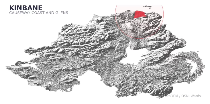
KINBANE covers 254.5 km² in Northern Ireland. With 246 historic sites and 17 scheduled monuments on record, the ward sits at the 97th percentile across all 462 NI wards for combined archaeological heritage. It also records 33 listed buildings (HED Historic Buildings Record), the 64th percentile for listed-building density across NI wards. Per 1,000 residents, this works out at 73.6 recorded sites — the 96th percentile across NI wards (a measure of heritage density relative to current population). Dated archaeological evidence runs from the Mesolithic through to the Modern period, spanning 8 archaeological periods, placing the ward in the 90th percentile NI-wide for chronological depth.
Heritage at a glance
Percentile rankings throughout this profile compare each ward only against the other 461 Northern Ireland wards.
Population context
The recorded heritage of KINBANE
Of the 246 historic sites recorded, the most common are A.P. Site (40, 16% of historic sites), Souterrain (14), and Non-Antiquity (10). For A.P. Sites, this is placing the ward in the top 5% nationally for this type. For Souterrains, this is the 90th percentile across NI wards that record this type. Across the ward's 254.5 km², this gives a recorded density of 1.16 sites per km² (all heritage types combined). Scheduled monuments are distributed across approximately 0.07° of latitude and 0.13° of longitude within the ward, indicating dispersed rather than clustered placement. Note: 35% of historic site records carry an 'Unknown' period attribution and cannot be placed chronologically; the chronological breakdown reported below reflects only the dated subset.
Most common monument types
| Type | Count | Description |
|---|---|---|
| A.p. Site | 40 | — |
| Souterrain | 14 | — |
| Non-antiquity | 10 | — |
Chronological distribution
Note: 35% of historic site records carry an ‘Unknown’ period attribution. The chronological breakdown above reflects only the dated subset.
Terrain and environment
With a mean elevation of 112m, this ward sits above the NI median (77th percentile), but the ward reaches 510m at its highest point — a vertical span of more than 398m within its boundary, indicating significant topographic diversity. Mean slope is 4.4° (55th percentile across NI), giving moderately undulating terrain. The Topographic Wetness Index of 10.6 (58th NI percentile) indicates moderate drainage, balanced between upland shedding and lowland accumulation. The land cover is dominated by improved grassland (81%) and woodland (14%). In overall character, this is elevated but relatively gentle terrain — typical of plateau country, with land use dominated by improved grassland.
Terrain measurements
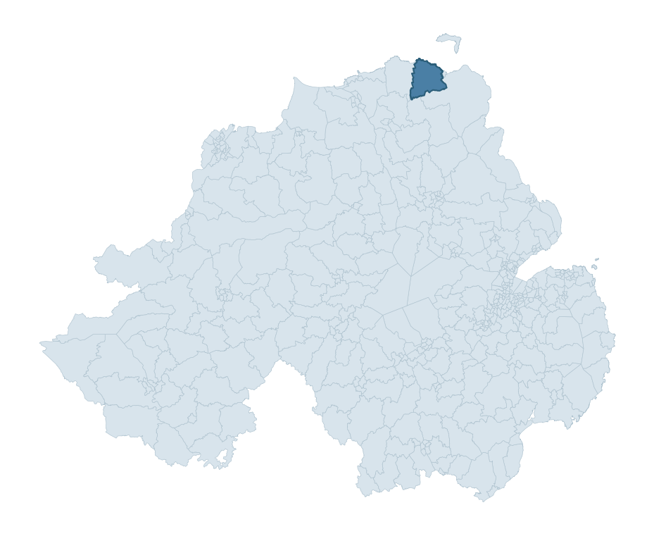
Where this ward sits in NI
Geology and preservation
The dominant bedrock formed during the Cainozoic era (Palaeogene period). Relatively young rock formed in the last 66 million years. In Ulster, Cainozoic basalt — the lava that created the Antrim Plateau and Giant's Causeway — dominates much of the eastern landscape. Peat covers 12% of the ward. Peat-bound ground preserves organic archaeological material that would not survive on aerated mineral soils. Bedrock composition is uniform (complexity index 0.25), with a single dominant geological unit underlying most of the ward. A uniform geology narrows the natural lithic-resource base available to past inhabitants.
Placename evidence
The combined OSNI, Logainm NI, and GeoNames sources record 65 placenames for this ward. Diagnostic heritage strata identified within these are: 5 pre-Christian defensive (rath-, dún-, lios-, caiseal-) and 4 ecclesiastical (cill-, teampall-, mainistir-, díseart-). Note: Irish-language (name_ga) forms are recorded for roughly half of NI placenames in the combined sources, so anglicised forms whose Irish original could belong to multiple categories may be misclassified.
Placename categories
Scheduled monuments in KINBANE
Scheduled monuments are sites legally protected under the Historic Monuments and Archaeological Objects (Northern Ireland) Order 1995, designated by the Historic Environment Division (HED).
| Monument | Type | Period |
|---|---|---|
| Motte | Motte | Medieval |
| Earthwork | Earthwork | Unknown |
| Standing stone | Standing Stone | Early Bronze Age |
| Passage tomb | Passage Tomb | Neolithic |
| Passage tomb: Druid's Stone | Passage Tomb: Druid'S Stone | Neolithic |
| Standing stone | Standing Stone | Early Bronze Age |
| Church (site of) | Church (Site Of) | Unknown |
| Motte with castle ruins | Motte With Castle Ruins | Medieval |
Recorded historic sites
| Name | Period | Type |
|---|---|---|
| 2 MEGALITHIC TOMBS (OS memoir site; unlocated) | Mesolithic | Ritual/Funerary |
| A.P. SITE | Unknown | Unknown |
| A.P. SITE | Unknown | Unknown |
| A.P. SITE | Unknown | Unknown |
| A.P. SITE | Unknown | Unknown |
| A.P. SITE | Unknown | Unknown |
| A.P. SITE | Unknown | Unknown |
| A.P. SITE | Unknown | Unknown |
| A.P. SITE | Unknown | Unknown |
| A.P. SITE | Unknown | Unknown |
Listed buildings in KINBANE
| Address / Name | Grade | Period |
|---|---|---|
| BALLINTOY PARISH CHURCH, GATES AND WALLING BALLINTOY DEMESNE CO.ANTRIM | B+ | — |
| FULLERTON ARMS MAIN STREET BALLINTOY CO.ANTRIM | B | — |
| 9 MAIN STREET BALLINTOY CO.ANTRIM | B1 | — |
| 130 WHITEPARK ROAD BALLINTOY DEMESNE CO.ANTRIM | B | — |
| MOUNT DRUID HOUSE THE RECTORY 2 BALLINLEA ROAD BALLINTOY BALLYCASTLE CO.ANTRIM | B1 | — |
| BEN DHU, BIRD TABLE, GARDEN POOL AND CLIFF-FACE STAIRWAY 49 HARBOUR ROAD BALLINTOY CO.ANTRIM | B1 | — |
| MOSS-SIDE HOUSE AND WALLING 15 MAIN STREET MOSS-SIDE BALLYMONEY CO.ANTRIM | B | — |
| CLEGNAGH HOUSE, GATE, PIERS AND WALLING 228 MOYARGET ROAD CLEGNAGH ARMOY CO.ANTRIM | B1 | — |
| DRY ARCH AND WALLS BALLINTOY ROAD CARROWREAGH TL MOSS-SIDE ARMOY CO.ANTRIM | B2 | 1840 – 1859 |
| DRUMTULLAGH PARISH CHURCH CARROWREAGH Armoy CO.ANTRIM | B | — |
Discover more in Causeway Coast and Glens
- Ballymoney East
- Ballykelly
- Coolessan
- Waterside
- Loughguile And Stranocum
- Windy Hall
- Dunloy
- Kernan — Armagh City, Banbridge and Craigavon
- Killinchy — Ards and North Down
- Keady — Armagh City, Banbridge and Craigavon
See all 462 wards in the Northern Ireland Heritage Tool.

Want a deeper view?
Grounding History: 10 Maps of Northern Ireland’s Past
A spatial history report bringing together analysis of all 462 wards into one place through 10 high-quality maps — covering monument density, archaeological periods, placename heritage, terrain, wetland, and the historic landscape at first survey.
About this profile
What is a ward?
A ward is the smallest electoral and statistical geography used by the Northern Ireland Statistics and Research Agency (NISRA). The boundaries used here are the 2014 NISRA / OSNI Wards (462 across Northern Ireland), each typically covering 1-700 km² and a population of a few thousand. Wards do not align with parishes, townlands, or any historic administrative unit — they are a modern statistical convenience, used here only as a fixed spatial frame within which to summarise heritage records.
What counts as a site?
Three distinct heritage record types are reported separately, not combined: (1) Historic Sites — entries in the Northern Ireland Sites and Monuments Record (NISMR), the inventory of recorded archaeological sites and findspots, dated from prehistoric to early-modern; (2) Scheduled Monuments — sites legally protected under the Historic Monuments and Archaeological Objects (NI) Order 1995 and maintained by the Historic Environment Division (HED); (3) Listed Buildings — buildings of architectural or historic interest protected under the Planning Act (NI) 2011 and graded A, B+, B1, B2, or Record-Only by HED. A site appearing in more than one register is counted in each register independently.
Editorial principles
These ward profiles describe evidence, not history. They report what is recorded, not what occurred. Where the data is ambiguous, we say so. We do not infer historical processes — population movements, settlement expansion, periods of decline — from patterns in the record. Absence of evidence is not evidence of absence: in Northern Ireland, where antiquarian survey was uneven and modern excavation is geographically biased, a gap in the record almost always reflects the limits of recording rather than a genuine historical absence. We mark such gaps explicitly where they appear in the data.
Limits of coverage and known caveats
Several caveats apply to every ward profile: (1) NISMR coverage is uneven across NI — some areas (notably parts of the south-east and the Belfast urban fringe) have been more intensively surveyed than others, so a low recorded site count does not reliably indicate a low past density of activity; (2) period attributions in NISMR are often 'Unknown', and chronological breakdowns reported here reflect only the dated subset; (3) placename classification depends on the Irish-language form (name_ga), which is recorded for approximately 50% of NI placenames in the combined sources, so ecclesiastical and pre-Christian counts may be understated where anglicised forms remain unparsed; (4) terrain percentile ranks compare each ward only to the other 461 NI wards; they are not absolute thresholds. For absence-dominant land cover categories (wetland, water, cropland), percentile ranks are suppressed below 1% raw value, since the ranking of zero-value wards is not meaningful.
Data sources (11)
- Northern Ireland Sites and Monuments Record (NISMR) https://www.communities-ni.gov.uk/articles/nismr-public-mapviewer
- HED Scheduled Monuments Dataset https://www.opendatani.gov.uk/@historic-environment-division/scheduled-monuments-northern-ireland
- HED Historic Buildings Record https://www.communities-ni.gov.uk/topics/historic-environment/listed-buildings
- OSNI OS Open Names (Northern Ireland) https://www.opendatani.gov.uk/@ordnance-survey-of-northern-ireland/osni-open-data—50k-gazetteer
- Logainm — Placenames Database of Ireland https://www.logainm.ie/
- GeoNames https://www.geonames.org/
- Census 2021 (Northern Ireland) https://www.nisra.gov.uk/statistics/2021-census
- OSNI Open Data — Largescale Boundaries https://www.opendatani.gov.uk/@ordnance-survey-of-northern-ireland/osni-open-data-largescale-boundaries-wards-2012
- Copernicus GLO-30 DEM https://spacedata.copernicus.eu/collections/copernicus-digital-elevation-model
- ESA WorldCover https://esa-worldcover.org/
- GSNI 1:250,000 Geology https://www.bgs.ac.uk/geological-data/maps/