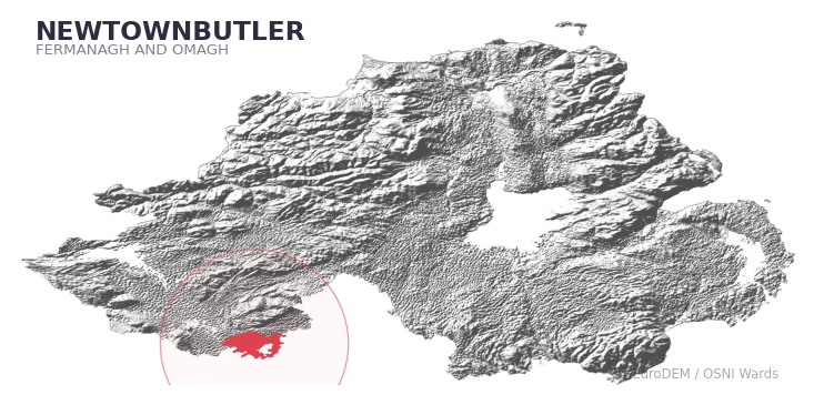
NEWTOWNBUTLER covers 264.0 km² in Northern Ireland. With 134 historic sites and 12 scheduled monuments on record, the ward sits at the 97th percentile across all 462 NI wards for combined archaeological heritage. It also records 121 listed buildings (HED Historic Buildings Record), the 96th percentile for listed-building density across NI wards. Per 1,000 residents, this works out at 104.0 recorded sites — the 99th percentile across NI wards (a measure of heritage density relative to current population). Dated archaeological evidence runs from the Mesolithic through to the Modern period, spanning 6 archaeological periods, around the NI median for chronological depth.
Heritage at a glance
Percentile rankings throughout this profile compare each ward only against the other 461 Northern Ireland wards.
Population context
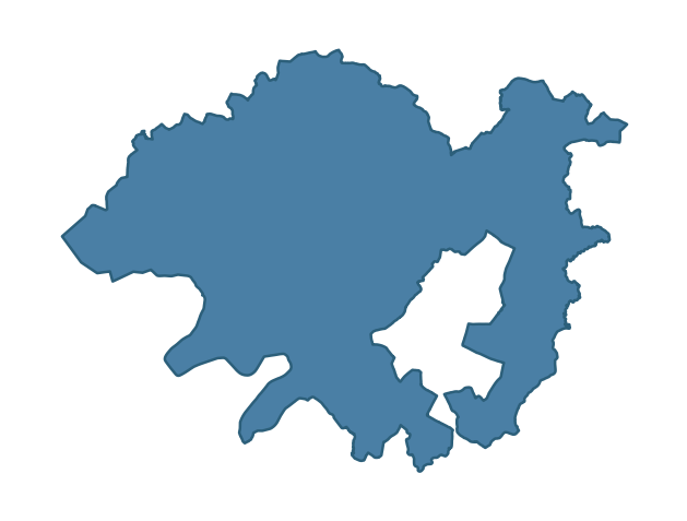
The recorded heritage of NEWTOWNBUTLER
Of the 134 historic sites recorded, the most common are Burnt Mound (32, 24% of historic sites), Rath (12), and Island, Possibly Crannog (8). For Burnt Mounds, this is the 68th percentile among NI wards that record this type. For Raths, this is the 73rd percentile among NI wards that record this type. Across the ward's 264.0 km², this gives a recorded density of 1.01 sites per km² (all heritage types combined). Scheduled monuments are distributed across approximately 0.06° of latitude and 0.19° of longitude within the ward, indicating dispersed rather than clustered placement.
Most common monument types
| Type | Count | Description |
|---|---|---|
| Burnt Mound | 32 | — |
| Rath | 12 | — |
| Island, Possibly Crannog | 8 | — |
Chronological distribution
Terrain and environment
Mean elevation of 57m sits around the NI median (46th percentile), reaching 114m at the highest point. Mean slope is 4.6° (60th percentile across NI), giving moderately undulating terrain. The Topographic Wetness Index of 10.4 (46th NI percentile) indicates moderate drainage, balanced between upland shedding and lowland accumulation. The land-cover mosaic combines improved grassland (78%), woodland (14%), and open water (6%), giving a mixed agricultural and semi-natural landscape.
Terrain measurements
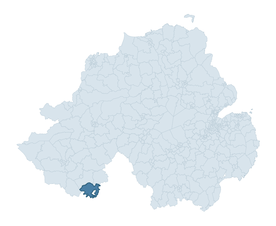
Where this ward sits in NI
Geology and preservation
The dominant bedrock formed during the Palaeozoic era (Carboniferous period). Ancient sedimentary or metamorphic rock dating to before the age of dinosaurs; the resulting landscape has been long-stable enough to host every period of human activity. Peat covers 24% of the ward. Peat-bound ground preserves organic archaeological material that would not survive on aerated mineral soils. Bedrock composition is uniform (complexity index 0.00), with a single dominant geological unit underlying most of the ward. A uniform geology narrows the natural lithic-resource base available to past inhabitants.
Placename evidence
The combined OSNI, Logainm NI, and GeoNames sources record 188 placenames for this ward. Diagnostic heritage strata identified within these are: 8 pre-Christian defensive (rath-, dún-, lios-, caiseal-), 26 ecclesiastical (cill-, teampall-, mainistir-, díseart-), and 1 Plantation-era (17th c English/Scots settlement names). Note: Irish-language (name_ga) forms are recorded for roughly half of NI placenames in the combined sources, so anglicised forms whose Irish original could belong to multiple categories may be misclassified.
Placename categories
Scheduled monuments in NEWTOWNBUTLER
Scheduled monuments are sites legally protected under the Historic Monuments and Archaeological Objects (Northern Ireland) Order 1995, designated by the Historic Environment Division (HED).
| Monument | Type | Period |
|---|---|---|
| Mound | Mound | Unknown |
| Cairn kerb: Druid's temple | Cairn Kerb: Druid'S Temple | Early Bronze Age |
| Chuch (site of, graveyard, two crossshafts and bases.) | Chuch (Site Of, Graveyard, Two Crossshafts And Bases.) | Unknown |
| Counterscarp rath | Counterscarp Rath | Early Medieval |
| Castle and garden | Castle And Garden | Unknown |
| Rath | Rath | Early Medieval |
| Black Pigs Dyke | Black Pigs Dyke | Unknown |
| Large hilltop enclosure | Large Hilltop Enclosure | Iron Age |
Recorded historic sites
| Name | Period | Type |
|---|---|---|
| A.P. SITE – circular cropmark | Unknown | Unknown |
| BULLAUN | Early Medieval | Unknown |
| BULLAUN & GRAVEYARD | Unknown | Ritual/Funerary |
| BURNT MOUND | Mesolithic | Agriculture |
| BURNT MOUND | Mesolithic | Agriculture |
| BURNT MOUND | Post-Medieval | Agriculture |
| BURNT MOUND | Post-Medieval | Agriculture |
| BURNT MOUND | Post-Medieval | Agriculture |
| BURNT MOUND | Post-Medieval | Agriculture |
| BURNT MOUND | Mesolithic | Agriculture |
Listed buildings in NEWTOWNBUTLER
| Address / Name | Grade | Period |
|---|---|---|
| Knockballymore Magheraveely Enniskillen Co Fermanagh BT94 4PY | A | 1740 – 1759 |
| Stableyard Knockballymore Lislea Maguiresbridge Co. Fermanagh BT94 4PY | B1 | 1840 – 1859 |
| Methodist Church High Street Newtownbutler Co. Fermanagh BT92 8JD | B1 | 1820 – 1839 |
| Carrigan's House Carrigans Newtownbutler Co. Fermanagh BT92 6FL | B2 | 1880 – 1899 |
| Canal Warehouse Gortnacarrow Newtownbutler Co Frmanagh BT92 8GW | B1 | 1820 – 1839 |
| 39 Killycarnan Road Leitrim Newtownbutler Co Fermanagh BT92 6HT | B1 | 1840 – 1859 |
| Mile stone Drumcru Cross Roads Drumcru Lisnaskea Co Fermanagh BT92 0QT | B2 | 1800 – 1819 |
| Canal Bridge Cloncorrick Newtownbutler Co Fermanagh BT92 6ET | B2 | 1820 – 1839 |
| Canal bridge Clonfad Newtownbutler Co Fermanagh BT92 6EB | B2 | 1820 – 1839 |
| Gate Screen at Johnstown House Magheramore Magheraveely Newtownbutler Co Fermanagh BT92 6NB | B2 | 1880 – 1899 |
Discover more in Fermanagh and Omagh
- Coolnagard
- Irvinestown
- Ederney And Kesh
- Tempo
- Rossorry
- Boho Cleenish And Letterbreen
- Donagh
- Newtownbreda — Lisburn and Castlereagh
- New Buildings — Derry City and Strabane
- Navan — Armagh City, Banbridge and Craigavon
See all 462 wards in the Northern Ireland Heritage Tool.

Want a deeper view?
Grounding History: 10 Maps of Northern Ireland’s Past
A spatial history report bringing together analysis of all 462 wards into one place through 10 high-quality maps — covering monument density, archaeological periods, placename heritage, terrain, wetland, and the historic landscape at first survey.
About this profile
What is a ward?
A ward is the smallest electoral and statistical geography used by the Northern Ireland Statistics and Research Agency (NISRA). The boundaries used here are the 2014 NISRA / OSNI Wards (462 across Northern Ireland), each typically covering 1-700 km² and a population of a few thousand. Wards do not align with parishes, townlands, or any historic administrative unit — they are a modern statistical convenience, used here only as a fixed spatial frame within which to summarise heritage records.
What counts as a site?
Three distinct heritage record types are reported separately, not combined: (1) Historic Sites — entries in the Northern Ireland Sites and Monuments Record (NISMR), the inventory of recorded archaeological sites and findspots, dated from prehistoric to early-modern; (2) Scheduled Monuments — sites legally protected under the Historic Monuments and Archaeological Objects (NI) Order 1995 and maintained by the Historic Environment Division (HED); (3) Listed Buildings — buildings of architectural or historic interest protected under the Planning Act (NI) 2011 and graded A, B+, B1, B2, or Record-Only by HED. A site appearing in more than one register is counted in each register independently.
Editorial principles
These ward profiles describe evidence, not history. They report what is recorded, not what occurred. Where the data is ambiguous, we say so. We do not infer historical processes — population movements, settlement expansion, periods of decline — from patterns in the record. Absence of evidence is not evidence of absence: in Northern Ireland, where antiquarian survey was uneven and modern excavation is geographically biased, a gap in the record almost always reflects the limits of recording rather than a genuine historical absence. We mark such gaps explicitly where they appear in the data.
Limits of coverage and known caveats
Several caveats apply to every ward profile: (1) NISMR coverage is uneven across NI — some areas (notably parts of the south-east and the Belfast urban fringe) have been more intensively surveyed than others, so a low recorded site count does not reliably indicate a low past density of activity; (2) period attributions in NISMR are often 'Unknown', and chronological breakdowns reported here reflect only the dated subset; (3) placename classification depends on the Irish-language form (name_ga), which is recorded for approximately 50% of NI placenames in the combined sources, so ecclesiastical and pre-Christian counts may be understated where anglicised forms remain unparsed; (4) terrain percentile ranks compare each ward only to the other 461 NI wards; they are not absolute thresholds. For absence-dominant land cover categories (wetland, water, cropland), percentile ranks are suppressed below 1% raw value, since the ranking of zero-value wards is not meaningful.
Data sources (11)
- Northern Ireland Sites and Monuments Record (NISMR) https://www.communities-ni.gov.uk/articles/nismr-public-mapviewer
- HED Scheduled Monuments Dataset https://www.opendatani.gov.uk/@historic-environment-division/scheduled-monuments-northern-ireland
- HED Historic Buildings Record https://www.communities-ni.gov.uk/topics/historic-environment/listed-buildings
- OSNI OS Open Names (Northern Ireland) https://www.opendatani.gov.uk/@ordnance-survey-of-northern-ireland/osni-open-data—50k-gazetteer
- Logainm — Placenames Database of Ireland https://www.logainm.ie/
- GeoNames https://www.geonames.org/
- Census 2021 (Northern Ireland) https://www.nisra.gov.uk/statistics/2021-census
- OSNI Open Data — Largescale Boundaries https://www.opendatani.gov.uk/@ordnance-survey-of-northern-ireland/osni-open-data-largescale-boundaries-wards-2012
- Copernicus GLO-30 DEM https://spacedata.copernicus.eu/collections/copernicus-digital-elevation-model
- ESA WorldCover https://esa-worldcover.org/
- GSNI 1:250,000 Geology https://www.bgs.ac.uk/geological-data/maps/