201 historic sites19 scheduled monuments16 listed buildings7 archaeological periods
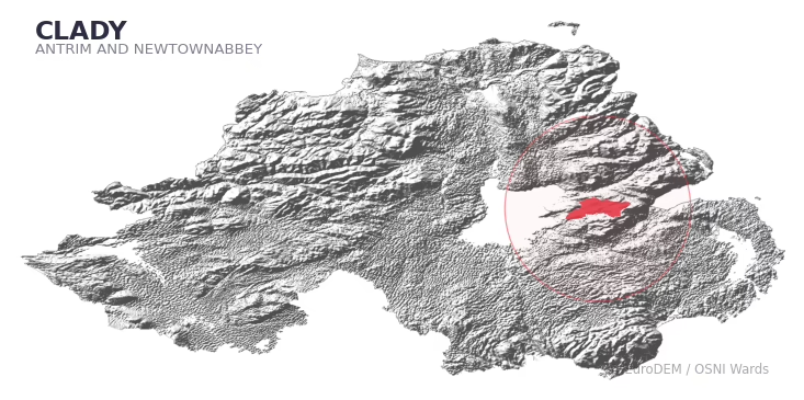
CLADY covers 212.8 km² in Northern Ireland. With 201 historic sites and 19 scheduled monuments on record, the ward sits at the 95th percentile across all 462 NI wards for combined archaeological heritage. It also records 16 listed buildings (HED Historic Buildings Record), the 44th percentile for listed-building density across NI wards. Per 1,000 residents, this works out at 61.8 recorded sites — the 95th percentile across NI wards (a measure of heritage density relative to current population). Dated archaeological evidence runs from the Mesolithic through to the Modern period, spanning 7 archaeological periods, placing the ward in the 79th percentile NI-wide for chronological depth.
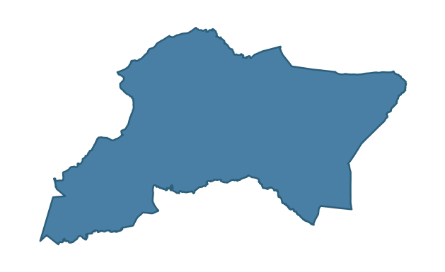
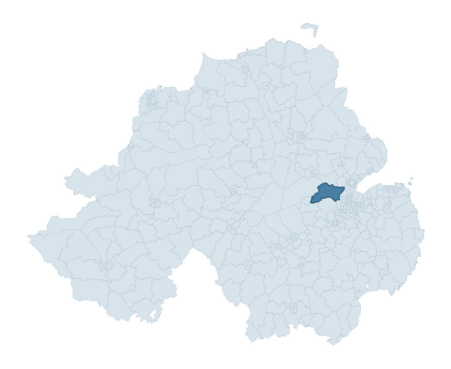
CLADY boundary detailCLADY in regional context
Heritage at a glance
Percentile rankings throughout this profile compare each ward only against the other 461 Northern Ireland wards.
201
Historic sites
97th percentile
19
Scheduled monuments
95th percentile
16
Listed buildings
44th percentile
1.11
Sites per km²
Population context
18
Persons per km²
17th percentile
61.8
Sites per 1,000 residents
95th percentile
3,818
Total residents (2021)
The recorded heritage of CLADY
Of the 201 historic sites recorded, the most common are Enclosure (Chart) (37, 18% of historic sites), Rath (28), and Enclosure (27). For Enclosure (Chart)s, this is the 50th percentile among NI wards that record this type. For Raths, this is placing the ward in the top 5% nationally for this type. Across the ward's 212.8 km², this gives a recorded density of 1.11 sites per km² (all heritage types combined). Scheduled monuments are distributed across approximately 0.07° of latitude and 0.20° of longitude within the ward, indicating dispersed rather than clustered placement.
Most common monument types
Type
Count
Description
Enclosure (chart)
37
—
Rath
28
—
Enclosure
27
—
Chronological distribution
Mesolithic
16
Early Bronze Age
4
Middle Late Bronze Age
1
Iron Age
79
Early Medieval
69
Medieval
8
Modern
3
Unknown
21
Terrain and environment
With a mean elevation of 158m, this ward sits above the NI median (88th percentile), but the ward reaches 454m at its highest point — a vertical span of more than 296m within its boundary, indicating significant topographic diversity. Mean slope is 3.3° (24th percentile across NI), giving moderately undulating terrain. The Topographic Wetness Index of 10.9 (76th NI percentile) indicates moderate drainage, balanced between upland shedding and lowland accumulation. The land cover is dominated by improved grassland (90%) and woodland (6%). In overall character, this is elevated but relatively gentle terrain — typical of plateau country, with land use dominated by improved grassland.
Terrain measurements
Mean elevation157.7 m 89th pct
Max elevation453.7 m 94th pct
Mean slope3.3° 25th pct
Wetness index (TWI)10.89 76th pct
Grassland90.2% 99th pct
Woodland6.2% 4th pct
Cropland1.5% 56th pct
Urban land2.1% 27th pct
Where this ward sits in NI
Elevation
89th
Slope
25th
Drainage
76th
Grassland
99th
Woodland
4th
Geology and preservation
The dominant bedrock formed during the Cainozoic era (Palaeogene period). Relatively young rock formed in the last 66 million years. In Ulster, Cainozoic basalt — the lava that created the Antrim Plateau and Giant's Causeway — dominates much of the eastern landscape. Bedrock composition is uniform (complexity index 0.00), with a single dominant geological unit underlying most of the ward. A uniform geology narrows the natural lithic-resource base available to past inhabitants.
Bedrock eraCainozoic
Bedrock periodPalaeogene
Surface depositsTill
Peat coverage0.0%
Bedrock complexity0.00
Placename evidence
The combined OSNI, Logainm NI, and GeoNames sources record 26 placenames for this ward. Diagnostic heritage strata identified within these are: 2 pre-Christian defensive (rath-, dún-, lios-, caiseal-) and 1 ecclesiastical (cill-, teampall-, mainistir-, díseart-). Note: Irish-language (name_ga) forms are recorded for roughly half of NI placenames in the combined sources, so anglicised forms whose Irish original could belong to multiple categories may be misclassified.
Scheduled monuments are sites legally protected under the Historic Monuments and Archaeological Objects (Northern Ireland) Order 1995, designated by the Historic Environment Division (HED).
Monument
Type
Period
Motte: Barginnis Mount
Motte: Barginnis Mount
Medieval
Camlin (Crumlin) Church
Camlin (Crumlin) Church
Unknown
Bivallate Rath
Bivallate Rath
Iron Age
Bivallate Rath
Bivallate Rath
Iron Age
Forts
Forts
Unknown
Raised rath or motte
Raised Rath Or Motte
Early Medieval
Rath
Rath
Early Medieval
Mound
Mound
Unknown
Sub-rectangular enclosure
Sub-Rectangular Enclosure
Iron Age
Platform rath
Platform Rath
Early Medieval
Rath
Rath
Early Medieval
Mound
Mound
Unknown
Rath and Souterrain
Rath And Souterrain
Iron Age
Rath
Rath
Early Medieval
Court tomb
Court Tomb
Neolithic
Bivallate Rath
Bivallate Rath
Iron Age
Burial Mound
Burial Mound
Early Bronze Age
Burial mound 'Donalds Mound'
Burial Mound 'Donalds Mound'
Early Bronze Age
BARROW (ANT 055:054) & STANDING STONE (ANT 055:273)
Barrow (Ant 055:054) & Standing Stone (Ant 055:273)
Early Bronze Age
Recorded historic sites
Name
Period
Type
A.P. SITE – 2 circular enclosures
Unknown
Unknown
A.P. SITE – circular cropmark
Unknown
Unknown
A.P. SITE – circular cropmark
Early Medieval
Unknown
A.P. SITE – circular cropmark
Unknown
Unknown
A.P. SITE – circular cropmark
Unknown
Unknown
A.P. SITE – circular enclosure
Iron Age
Unknown
A.P. SITE – circular enclosure
Iron Age
Unknown
A.P. SITE – circular enclosure
Iron Age
Unknown
A.P. SITE – complex of cropmarks – Field System?
Middle-Late Bronze Age
Agriculture
A.P. SITE – elliptical cropmark
Unknown
Unknown
A.P. SITE – elliptical cropmark
Unknown
Unknown
A.P. SITE – enclosure
Iron Age
Unknown
A.P. SITE – enclosure
Iron Age
Unknown
A.P. SITE – enclosure?
Iron Age
Unknown
A.P. SITE – large, sub-rectangular cropmark
Unknown
Unknown
A.P. SITE – mound – BARROW?
Early Bronze Age
Ritual/Funerary
A.P. SITE – mound – Rath?
Early Medieval
Defence
A.P. SITE – small circular cropmark – Barrow?
Early Bronze Age
Ritual/Funerary
A.P. SITE – square cropmark
Unknown
Unknown
A.P. SITE – sub-rectangular cropmark
Unknown
Unknown
AP Cropmark- Possible barrow or circular enclosure/ rath
Early Bronze Age
Ritual/Funerary
BARROW
Mesolithic
Ritual/Funerary
BATTLE SITE (O.S. Memoir site, unlocated)
Early Medieval
Unknown
BIVALLATE ENCLOSURE – BARROW?
Mesolithic
Ritual/Funerary
BIVALLATE RATH
Early Medieval
Defence
BIVALLATE RATH & WELL
Early Medieval
Defence
BOOLEY HUTS
Unknown
Unknown
CAIRN (unlocated)
Mesolithic
Ritual/Funerary
CAIRN with URN BURIALS (O.S. memoir site, unlocated)
Grounding History: 10 Maps of Northern Ireland’s Past
A spatial history report bringing together analysis of all 462 wards into one place through 10 high-quality maps — covering monument density, archaeological periods, placename heritage, terrain, wetland, and the historic landscape at first survey.
A ward is the smallest electoral and statistical geography used by the Northern Ireland Statistics and Research Agency (NISRA). The boundaries used here are the 2014 NISRA / OSNI Wards (462 across Northern Ireland), each typically covering 1-700 km² and a population of a few thousand. Wards do not align with parishes, townlands, or any historic administrative unit — they are a modern statistical convenience, used here only as a fixed spatial frame within which to summarise heritage records.
What counts as a site?
Three distinct heritage record types are reported separately, not combined: (1) Historic Sites — entries in the Northern Ireland Sites and Monuments Record (NISMR), the inventory of recorded archaeological sites and findspots, dated from prehistoric to early-modern; (2) Scheduled Monuments — sites legally protected under the Historic Monuments and Archaeological Objects (NI) Order 1995 and maintained by the Historic Environment Division (HED); (3) Listed Buildings — buildings of architectural or historic interest protected under the Planning Act (NI) 2011 and graded A, B+, B1, B2, or Record-Only by HED. A site appearing in more than one register is counted in each register independently.
Editorial principles
These ward profiles describe evidence, not history. They report what is recorded, not what occurred. Where the data is ambiguous, we say so. We do not infer historical processes — population movements, settlement expansion, periods of decline — from patterns in the record. Absence of evidence is not evidence of absence: in Northern Ireland, where antiquarian survey was uneven and modern excavation is geographically biased, a gap in the record almost always reflects the limits of recording rather than a genuine historical absence. We mark such gaps explicitly where they appear in the data.
Limits of coverage and known caveats
Several caveats apply to every ward profile: (1) NISMR coverage is uneven across NI — some areas (notably parts of the south-east and the Belfast urban fringe) have been more intensively surveyed than others, so a low recorded site count does not reliably indicate a low past density of activity; (2) period attributions in NISMR are often 'Unknown', and chronological breakdowns reported here reflect only the dated subset; (3) placename classification depends on the Irish-language form (name_ga), which is recorded for approximately 50% of NI placenames in the combined sources, so ecclesiastical and pre-Christian counts may be understated where anglicised forms remain unparsed; (4) terrain percentile ranks compare each ward only to the other 461 NI wards; they are not absolute thresholds. For absence-dominant land cover categories (wetland, water, cropland), percentile ranks are suppressed below 1% raw value, since the ranking of zero-value wards is not meaningful.
Data sources (11)
Northern Ireland Sites and Monuments Record (NISMR)
Spotted an error? This dataset is updated continuously.
Email contact@danielkirkpatrick.co.uk with corrections, missing records, or suggestions for improvement.
Manage Consent
To provide the best experiences, we use technologies like cookies to store and/or access device information. Consenting to these technologies will allow us to process data such as browsing behaviour or unique IDs on this site. Not consenting or withdrawing consent, may adversely affect certain features and functions.
Functional
Always active
The technical storage or access is strictly necessary for the legitimate purpose of enabling the use of a specific service explicitly requested by the subscriber or user, or for the sole purpose of carrying out the transmission of a communication over an electronic communications network.
Preferences
The technical storage or access is necessary for the legitimate purpose of storing preferences that are not requested by the subscriber or user.
Statistics
The technical storage or access that is used exclusively for statistical purposes.The technical storage or access that is used exclusively for anonymous statistical purposes. Without a subpoena, voluntary compliance on the part of your Internet Service Provider, or additional records from a third party, information stored or retrieved for this purpose alone cannot usually be used to identify you.
Marketing
The technical storage or access is required to create user profiles to send advertising, or to track the user on a website or across several websites for similar marketing purposes.